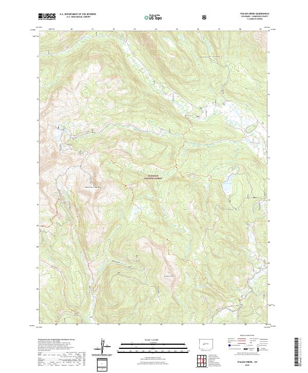
2022 Map of Italian Creek
USGS Topo · Published 2022About this map
Gunnison National Forest dominates this high-altitude landscape within the Sawatch Range, where steep drainages and mountain summits define the local geography. The topography is anchored by the prominent American Flag Mtn and Forest Hill, which overlook a network of seasonal and perennial watercourses including the Taylor River, Italian Cr, and Tellurium Cr. This area is characterized by its extensive trail system, which facilitates movement through the difficult terrain via routes like the Italian Pass Trl and the Lily Pond Trl. Notable water bodies such as Mysterious Lake and Lily Pond are tucked into the high basins, while the Spring Creek / Rocky Brook Snwmo Trl indicates the region's contemporary role in backcountry recreation and winter transit.
Find a feature on this map
30 named features on this map. Tap any name to fly to it.
Don’t see what you’re looking for? This feature index may not catch every label — zoom into the map to look around manually.
Map Details
Editions of this 2022 Italian Creek Map
This is the sole edition of this map. No revisions or reprints were ever made.
Other maps of this area

1888 · Crested Butte
USGS Topo · 1:62,500

1889 · Crested Butte
USGS Topo · 1:62,500

1893 · Crested Butte
USGS Topo · 1:62,500

1893 · Aspen
USGS Topo · 1:62,500

1895 · Aspen
USGS Topo · 1:62,500

1909 · Mount Jackson
USGS Topo · 1:125,000

1911 · Mount Jackson
USGS Topo · 1:125,000

1934 · Taylor Park
USGS Topo · 1:62,500

1937 · Taylor Park
USGS Topo · 1:62,500

1956 · Montrose
USGS Topo · 1:250,000