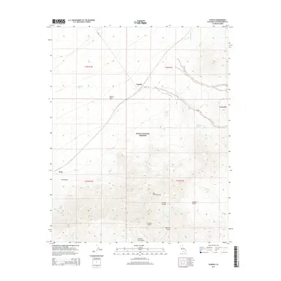
2015 Map of Ivanpah
USGS Topo · Published 2015About this map
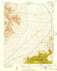
Vanderbilt and Ivanpah anchor the high desert landscape of the northern Mojave National Preserve in this survey. The terrain is defined by the steep rises of the New York Mountains, which are dissected by numerous drainages including Caruthers Canyon, Keystone Canyon, and Sagamore Canyon. This area is characterized by its vital water sources in an otherwise arid environment, with several mapped points such as Keystone Spring, Mail Spring, and Slaughterhouse Spring providing critical locations for local history and survival in the Mojave Desert.
Find a feature on this map
24 named features on this map. Tap any name to fly to it.
Don’t see what you’re looking for? This feature index may not catch every label — zoom into the map to look around manually.
Map Details
Editions of this 2015 Ivanpah Map
This is the sole edition of this map. No revisions or reprints were ever made.
Other maps of this area
1910 · Ivanpah
USGS Topo · 1:250,000
1912 · Ivanpah
USGS Topo · 1:250,000
1942 · Ivanpah
USGS Topo · 1:250,000

1947 · Kingman
USGS Topo · 1:250,000

1948 · Kingman
USGS Topo · 1:250,000
1954 · Kingman
USGS Topo · 1:250,000
1955 · Kingman
USGS Topo · 1:250,000
1955 · Mid Hills
USGS Topo · 1:62,500
1956 · Lanfair Valley
USGS Topo · 1:62,500
1956 · Ivanpah
USGS Topo · 1:62,500