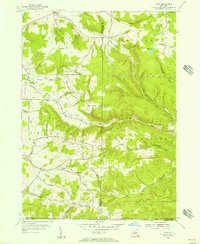
1954 Map of Ivory
USGS Topo · Published 1956About this map
Ivory and the surrounding rural uplands of Chautauqua and Cattaraugus Counties are documented here in the mid-1950s. The landscape is defined by the headwaters of numerous streams including Bone Run, Frews Run, and the North Branch of Sawmill Run, which carve through the high ground of Randolph and South Valley. Small settlements like Dodge and Wiltsie are connected by a network of winding roads named for local families, such as Robbin Hill Road, Wigren Rd, and Gurnsey Road.
Find a feature on this map
50 named features on this map. Tap any name to fly to it.
Don’t see what you’re looking for? This feature index may not catch every label — zoom into the map to look around manually.
Map Details
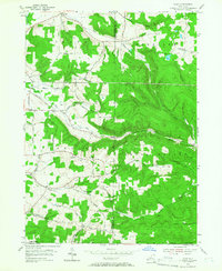
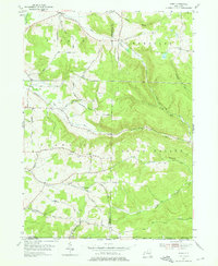
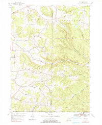
Editions of this 1954 Ivory Map
4 editions found
Other maps of this area

1905 · Jamestown
USGS Topo · 1:62,500

1906 · Warren
USGS Topo · 1:62,500

1907 · Warren
USGS Topo · 1:62,500

1908 · Warren
USGS Topo · 1:62,500

1922 · Randolph
USGS Topo · 1:62,500

1923 · Randolph
USGS Topo · 1:62,500

1936 · Kinzua
USGS Topo · 1:48,000

1941 · Kinzua
USGS Topo · 1:62,500

1942 · Jamestown
USGS Topo · 1:62,500

1943 · Randolph
USGS Topo · 1:62,500