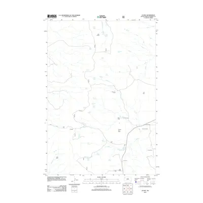
2012 Map of J B Hill
USGS Topo · Published 2012About this map
Slim Buttes dominates the northwestern portion of this Harding County landscape, creating a distinct vertical relief against the surrounding rangeland. The map documents a classic Western pastoral economy defined by widely spaced family operations such as G Wammen Ranch, Thybo Ranch, and the Phillips Ranch. Water sources are the critical infrastructure of this arid region, evidenced by a high density of named springs like Blarney Castle Spring, Meathook Spring, and Red Tank Spring that sustain the livestock and wildlife.
Find a feature on this map
48 named features on this map. Tap any name to fly to it.
Don’t see what you’re looking for? This feature index may not catch every label — zoom into the map to look around manually.
Map Details
Editions of this 2012 J B Hill Map
This is the sole edition of this map. No revisions or reprints were ever made.
Other maps of this area

1935 · Reva
USGS Topo · 1:125,000

1935 · Hoover
USGS Topo · 1:125,000

1954 · Lemmon
USGS Topo · 1:250,000

1957 · Lemmon
USGS Topo · 1:250,000

1968 · Irish Butte
USGS Topo · 1:24,000

1968 · J B Hill
USGS Topo · 1:24,000

1968 · Reva
USGS Topo · 1:24,000

1968 · Sheep Mountain
USGS Topo · 1:24,000

1968 · Flat Top Butte
USGS Topo · 1:24,000

1969 · Battleship Rock
USGS Topo · 1:24,000