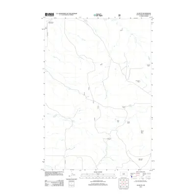
2012 Map of J K Butte
USGS Topo · Published 2012About this map
J K Butte rises over a landscape defined by ranching and resource extraction in this corner of Harding County. The terrain is marked by a complex system of seasonal drainages, including Porcupine Draw, Johnson Draw, and Smith Draw, which feed into larger watercourses like Waterhole Cr and Plum Cr. These landforms provide a clear picture of the region's erosion patterns and natural livestock range. Human presence is centered on localized hubs such as Davis Ranch and Holcomb Ranch, while the Short Pines Gas Field indicates the industrial footprint of energy development in the early 21st century. To the southeast, the slopes of the West Short Pine Hills offer a contrast to the flatter northern sections, punctuated by landmarks like White Cap and the specialized Sky Ranch For Boys Airport.
Find a feature on this map
19 named features on this map. Tap any name to fly to it.
Don’t see what you’re looking for? This feature index may not catch every label — zoom into the map to look around manually.
Map Details
Editions of this 2012 J K Butte Map
This is the sole edition of this map. No revisions or reprints were ever made.
Other maps of this area

1935 · Harding
USGS Topo · 1:125,000

1935 · Buffalo
USGS Topo · 1:125,000

1954 · Lemmon
USGS Topo · 1:250,000

1954 · Ekalaka
USGS Topo · 1:250,000

1956 · Ekalaka
USGS Topo · 1:250,000

1957 · Lemmon
USGS Topo · 1:250,000

1958 · Ekalaka
USGS Topo · 1:250,000

1965 · Ekalaka
USGS Topo · 1:250,000

1973 · Hells Canyon
USGS Topo · 1:24,000

1974 · Pine Spring
USGS Topo · 1:24,000