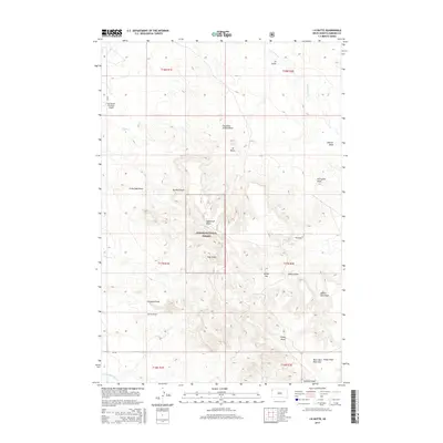
2015 Map of J K Butte
USGS Topo · Published 2015About this map
J K Butte rises as a central landmark in this portion of Harding County, characterizing a landscape defined by an intricate network of erosional features. The terrain is marked by dozens of named draws and gulches, such as Grandma Schang Draw, Sawmill Gulch, and Sagebrush Draw, which channel seasonal runoff toward larger drainage systems like Waterhole Cr and Forty-eight Mile Cr. This topography reflects the specialized land use of the High Plains, where water access and high ground dictate the placement of local infrastructure.
Find a feature on this map
33 named features on this map. Tap any name to fly to it.
Don’t see what you’re looking for? This feature index may not catch every label — zoom into the map to look around manually.
Map Details
Editions of this 2015 J K Butte Map
This is the sole edition of this map. No revisions or reprints were ever made.
Other maps of this area

1935 · Harding
USGS Topo · 1:125,000

1935 · Buffalo
USGS Topo · 1:125,000

1954 · Lemmon
USGS Topo · 1:250,000

1954 · Ekalaka
USGS Topo · 1:250,000

1956 · Ekalaka
USGS Topo · 1:250,000

1957 · Lemmon
USGS Topo · 1:250,000

1958 · Ekalaka
USGS Topo · 1:250,000

1965 · Ekalaka
USGS Topo · 1:250,000

1973 · Hells Canyon
USGS Topo · 1:24,000

1974 · Pine Spring
USGS Topo · 1:24,000