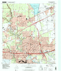
2022 Map of Jacinto City
USGS Topo · Published 2022About this map
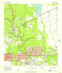
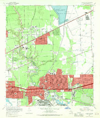
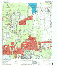
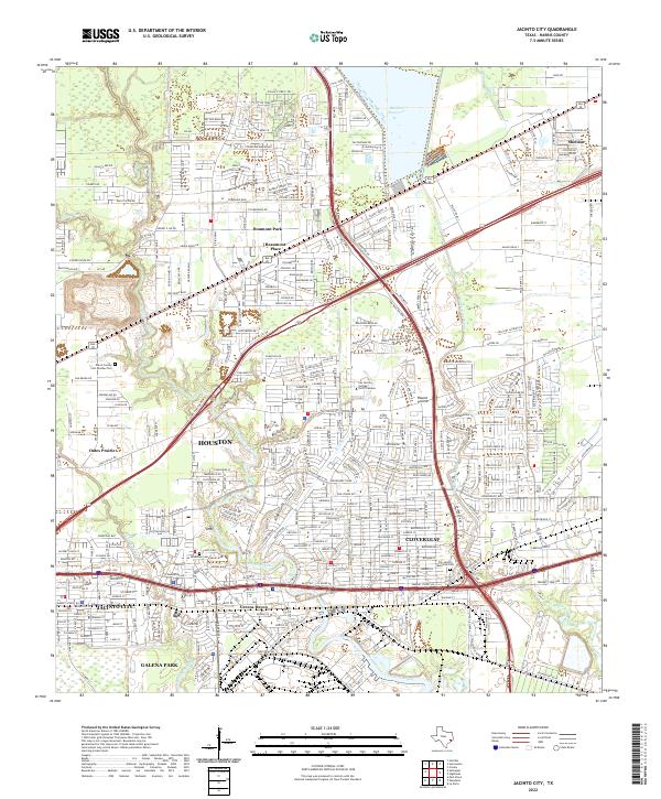
Houston's eastern industrial and residential corridors are defined here by a dense network of waterways and major transit arteries. The landscape is carved by the winding course of Greens Bayou and its numerous tributaries, including Jordan Gully, Sulphur Gully, and Big Gulch. These natural drainage systems weave through established communities like Cloverleaf, Jacinto City, and Galena Park, where the grid of neighborhood streets meets the heavy infrastructure of the East Fwy and Beltway 8.
Find a feature on this map
34 named features on this map. Tap any name to fly to it.
Don’t see what you’re looking for? This feature index may not catch every label — zoom into the map to look around manually.
Map Details
Editions of this 2022 Jacinto City Map
This is the sole edition of this map. No revisions or reprints were ever made.
Historical Maps of Jacinto City Through Time
5 maps found