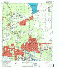
1982 Map of Jacinto City
USGS Topo · Published 1983About this map
Sheldon Reservoir and the Sheldon State Wildlife Management Area dominate the northern landscape of this 1982 Harris County survey, providing a sharp contrast to the dense industrial and residential growth spreading east from Houston. The expansion of suburbs like Cloverleaf, Jacinto City, and Beaumont Place is evident, while the Southern Pacific and Missouri Pacific railroads serve as industrial spines for the region. Significant civic landmarks are captured here, from educational centers like San Jacinto College North and Southern Bible College to the medical facilities at Northshore Medical Plaza. The map reveals a complex network of bayous, including Halls Bayou and Greens Bayou, which wind through the emerging suburban street grids, including the historical grounds of the County Cemetery and Bradshaw Cem.
Find a feature on this map
70 named features on this map. Tap any name to fly to it.
Don’t see what you’re looking for? This feature index may not catch every label — zoom into the map to look around manually.
Map Details
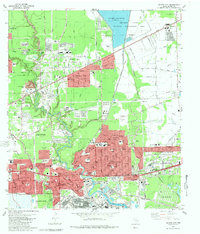
Editions of this 1982 Jacinto City Map
2 editions found
Other maps of this area

1915 · Park Place
USGS Topo · 1:24,000

1915 · Deepwater
USGS Topo · 1:24,000

1916 · Burnett Bay
USGS Topo · 1:24,000

1916 · Crosby
USGS Topo · 1:24,000

1916 · Settegast
USGS Topo · 1:24,000

1916 · Fauna
USGS Topo · 1:24,000

1916 · Harmaston
USGS Topo · 1:24,000

1916 · Humble
USGS Topo · 1:24,000

1916 · La Porte
USGS Topo · 1:24,000

1919 · Deepwater
USGS Topo · 1:31,680