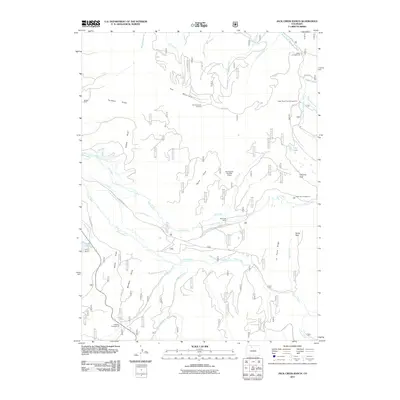
2011 Map of Jack Creek Ranch
USGS Topo · Published 2011About this map
Owl Mountain dominates the northern landscape of this Jackson County survey, where the Owl Mountain Lookout overlooks a complex network of forest drainage and high-altitude ranching land. The southern reaches are defined by the Illinois River and its many tributaries, including Snyder Creek and Parkview Creek. Human activity is centered on established homesteads and livestock operations like the Jack Creek Ranch, Roslyn Ranch, and Brocker Place.
Find a feature on this map
53 named features on this map. Tap any name to fly to it.
Don’t see what you’re looking for? This feature index may not catch every label — zoom into the map to look around manually.
Map Details
Editions of this 2011 Jack Creek Ranch Map
This is the sole edition of this map. No revisions or reprints were ever made.
Other maps of this area

1915 · Longs Peak
USGS Topo · 1:125,000

1916 · Home
USGS Topo · 1:125,000

1919 · Rocky Mountain National Park
USGS Topo · 1:125,000

1920 · Home
USGS Topo · 1:125,000

1954 · Greeley
USGS Topo · 1:250,000

1954 · Craig
USGS Topo · 1:250,000

1955 · Gould
USGS Topo · 1:24,000

1955 · Owl Ridge
USGS Topo · 1:24,000

1956 · Radial Mountain
USGS Topo · 1:24,000

1956 · Jack Creek Ranch
USGS Topo · 1:24,000