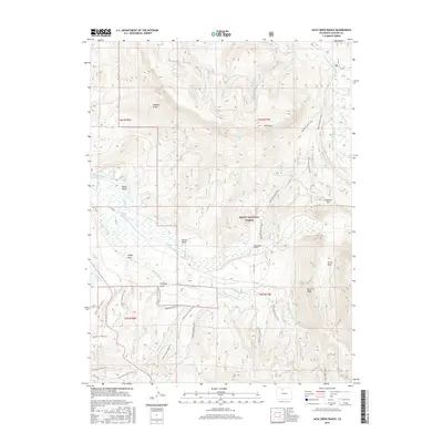
2016 Map of Jack Creek Ranch
USGS Topo · Published 2016About this map
Routt National Forest dominates this Jackson County landscape, where a sophisticated network of mountain irrigation infrastructure highlights early 21st-century water management. The Illinois River and its various tributaries are harnessed by numerous named channels, including the Oldenburg Ditch, Olive Ditch, and Flying Dutchman Ditch. This intricate system of ditches and draws, such as Whiskey Draw and Haney Draw, speaks to the agricultural necessity of directing snowmelt from the higher elevations of Owl Mtn and La Fevre Ridge toward the valley floor.
Find a feature on this map
49 named features on this map. Tap any name to fly to it.
Don’t see what you’re looking for? This feature index may not catch every label — zoom into the map to look around manually.
Map Details
Editions of this 2016 Jack Creek Ranch Map
This is the sole edition of this map. No revisions or reprints were ever made.
Other maps of this area

1915 · Longs Peak
USGS Topo · 1:125,000

1916 · Home
USGS Topo · 1:125,000

1919 · Rocky Mountain National Park
USGS Topo · 1:125,000

1920 · Home
USGS Topo · 1:125,000

1954 · Greeley
USGS Topo · 1:250,000

1954 · Craig
USGS Topo · 1:250,000

1955 · Gould
USGS Topo · 1:24,000

1955 · Owl Ridge
USGS Topo · 1:24,000

1956 · Radial Mountain
USGS Topo · 1:24,000

1956 · Jack Creek Ranch
USGS Topo · 1:24,000