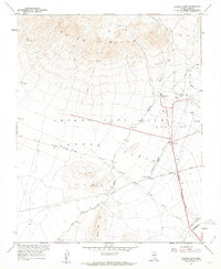
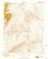
1961 Map of Jackass Flats
USGS Topo · Published 1962About this map
The Nevada Test Site Area 400 dominates this early 1960s landscape, recorded at a time when the Atomic Energy Commission was actively developing infrastructure for nuclear research. The arid expanse of Jackass Flats is crossed by an extensive network of specialized utilities, including an Underground Telephone Line and several remote installations such as a Pumping Station and Well J-11. A small Trailer Park provides a rare sign of human habitation amidst the desert basin, while the surrounding peaks of the Calico Hills and Little Skull Mtn are marked with isolated prospects and rugged jeep trails. To the south, the historic Cane Spring Road leads toward Cane Spring, a critical water source in this dry terrain, while industrial markers like a Lookout Tower and Weather Tower Station 14 highlight the region's technical purpose.
Find a feature on this map
23 named features on this map. Tap any name to fly to it.
Don’t see what you’re looking for? This feature index may not catch every label — zoom into the map to look around manually.
Map Details
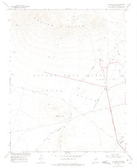
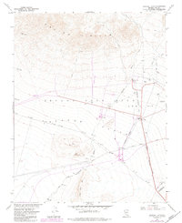
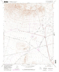
Editions of this 1961 Jackass Flats Map
4 editions found
Other maps of this area

1908 · Furnace Creek
USGS Topo · 1:250,000

1910 · Furnace Creek
USGS Topo · 1:250,000

1942 · Skull Mountain
USGS Topo · 1:125,000

1948 · Death Valley
USGS Topo · 1:250,000

1952 · Topopah Spring
USGS Topo · 1:62,500

1952 · Specter Range
USGS Topo · 1:62,500
1952 · Cane Spring
USGS Topo · 1:62,500

1954 · Death Valley
USGS Topo · 1:250,000

1956 · Death Valley
USGS Topo · 1:250,000

1957 · Death Valley
USGS Topo · 1:250,000