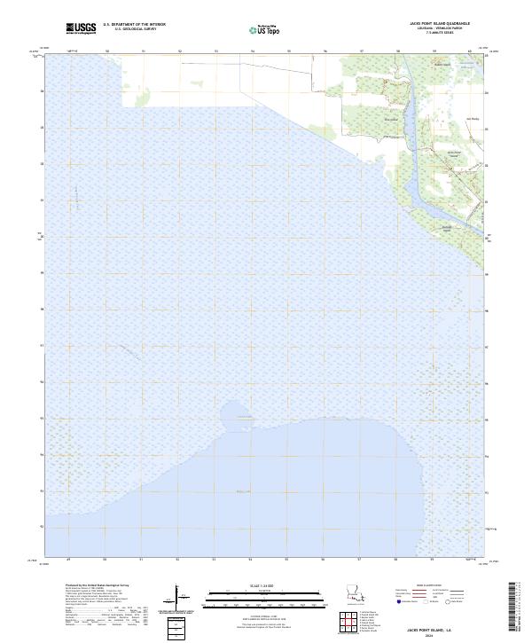
2024 Map of Jacks Point Island
USGS Topo · Published 2024About this map
White Lake and its vast marshy surroundings dominate this coastal landscape in southern Louisiana, where land and water are inextricably linked. The terrain is defined by a network of maritime infrastructure, notably the Intracoastal Waterway and the Warren Canal, which carve paths through the wetlands to facilitate regional navigation. High ground is represented by a series of distinct islands, including Jacks Point Island, Pine Island, and Outside Island, many of which are accessed by local routes such as Pine Island Rd and Bull Island Rd. The presence of the Gang Pirogue Trail through the marsh highlights the traditional methods of traversing these shallow waters. These features illustrate the precarious balance of a deltaic environment where small settlements and camps rely on isolated ridges and managed waterways for survival and transport.
Find a feature on this map
21 named features on this map. Tap any name to fly to it.
Don’t see what you’re looking for? This feature index may not catch every label — zoom into the map to look around manually.
Map Details
Editions of this 2024 Jacks Point Island Map
This is the sole edition of this map. No revisions or reprints were ever made.
Other maps of this area

1932 · Constance Bayou NE
USGS Topo · 1:31,680

1945 · Pecan Island NW
USGS Topo · 1:31,680

1945 · Pecan Island NE
USGS Topo · 1:31,680

1946 · Schooner Bayou SE
USGS Topo · 1:31,680

1946 · Schooner Bayou NE
USGS Topo · 1:31,680

1946 · Schooner Bayou NW
USGS Topo · 1:31,680

1946 · Schooner Bayou SW
USGS Topo · 1:31,680

1951 · Pecan Island
USGS Topo · 1:62,500

1953 · Jacks Point Island
USGS Topo · 1:24,000

1954 · Grand Lake East SE
USGS Topo · 1:31,680