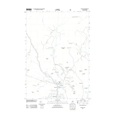
2012 Map of Jackson
USGS Topo · Published 2012About this map
The Ellis River and Wildcat Brook converge near the heart of Jackson, New Hampshire, defining a landscape shaped by both water and winter recreation. This survey captures the town's character as a major skiing destination, showing the Black Mountain Ski Area, Jackson Ski Touring Area, and the specialized facilities at the Tyrol Winter Sports Area. Local landmarks like the Honeymoon Bridge and Jackson Falls are clearly identified, alongside high-altitude features such as the Black Mountain Cabin and the Davis Memorial Tower atop Black Mountain. To the south, Goodrich Falls marks the river's path as it leaves the town center, while the eastern reaches are populated by smaller localities like Dundee and the Panno Place. The map provides a detailed view of the area's transition from riverfront farms like Nestlenook Farm on the River Ski Area to the high peaks of North Doublehead and South Doublehead.
Find a feature on this map
73 named features on this map. Tap any name to fly to it.
Don’t see what you’re looking for? This feature index may not catch every label — zoom into the map to look around manually.
Map Details
Editions of this 2012 Jackson Map
This is the sole edition of this map. No revisions or reprints were ever made.
Other maps of this area

1893 · Mt. Washington
USGS Topo · 1:62,500

1893 · Gorham
USGS Topo · 1:62,500

1894 · North Conway
USGS Topo · 1:62,500

1895 · Crawford Notch
USGS Topo · 1:62,500

1896 · Mt. Washington
USGS Topo · 1:62,500

1896 · Crawford Notch
USGS Topo · 1:62,500

1896 · North Conway
USGS Topo · 1:62,500

1896 · Gorham
USGS Topo · 1:62,500

1935 · Mt. Washington
USGS Topo · 1:62,500

1937 · Gorham
USGS Topo · 1:48,000