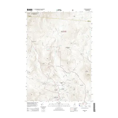
2015 Map of Jackson
USGS Topo · Published 2015About this map
The mountain village of Jackson serves as a central hub within the White Mountain National Forest in this 2015 study. The settlement is defined by its proximity to notable water features, including the Jackson Falls and the historic Honeymoon Bridge spanning the Ellis River. The landscape is dominated by high peaks such as Black Mtn, Eagle Mtn, and Thorn Mtn, which frame the deep valleys and drainage basins of Wildcat Brook and the East Branch Saco River.
Find a feature on this map
86 named features on this map. Tap any name to fly to it.
Don’t see what you’re looking for? This feature index may not catch every label — zoom into the map to look around manually.
Map Details
Editions of this 2015 Jackson Map
This is the sole edition of this map. No revisions or reprints were ever made.
Other maps of this area

1893 · Mt. Washington
USGS Topo · 1:62,500

1893 · Gorham
USGS Topo · 1:62,500

1894 · North Conway
USGS Topo · 1:62,500

1895 · Crawford Notch
USGS Topo · 1:62,500

1896 · Mt. Washington
USGS Topo · 1:62,500

1896 · Crawford Notch
USGS Topo · 1:62,500

1896 · North Conway
USGS Topo · 1:62,500

1896 · Gorham
USGS Topo · 1:62,500

1935 · Mt. Washington
USGS Topo · 1:62,500

1937 · Gorham
USGS Topo · 1:48,000