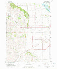
1967 Map of Jackson
USGS Topo · Published 1971About this map
Jackson and Hubbard serve as the primary hubs in this northeastern Nebraska landscape, where the flat alluvial plains meet the distinctive rising terrain of St Johns. The Missouri River valley is defined by a complex network of waterways and drainage engineering, including the Big Sioux River at the South Dakota border and the channelized Pigeon Creek Ditch. Transportation infrastructure is a dominant feature, with the Burlington Northern and Chicago and North Western railroads cutting through the countryside to connect these rural communities. Local history is anchored by sites such as St Johns Cem and St Marys Cem, while industrial activity is noted at the Gravel Pit near the edge of the bluffs. The map also captures smaller details of the era, from the Water Tank in Hubbard to the Sewage Disposal Pond serving Jackson.
Find a feature on this map
23 named features on this map. Tap any name to fly to it.
Don’t see what you’re looking for? This feature index may not catch every label — zoom into the map to look around manually.
Map Details
Editions of this 1967 Jackson Map
2 editions found
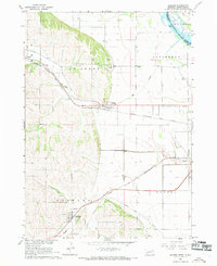
Other maps of this area

1898 · Elk Point
USGS Topo · 1:125,000

1901 · Elk Point
USGS Topo · 1:125,000

1907 · Elk Point
USGS Topo · 1:125,000

1955 · Sioux City
USGS Topo · 1:250,000

1958 · Sioux City
USGS Topo · 1:250,000

1959 · Sioux City
USGS Topo · 1:250,000

1963 · Sioux City South
USGS Topo · 1:24,000

1963 · Sioux City North
USGS Topo · 1:24,000

1963 · Jefferson
USGS Topo · 1:24,000
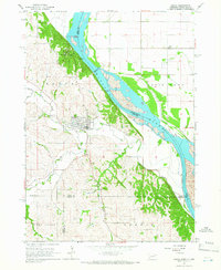
1964 · Ponca
USGS Topo · 1:24,000