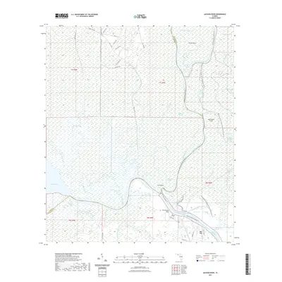
2021 Map of Jackson River
USGS Topo · Published 2021About this map
Apalachicola River Wildlife and Environmental Area dominates this coastal riverine landscape, where the Apalachicola River splits into a complex web of sloughs and side channels. The small settlement of Bay City sits at the edge of the Intracoastal Waterway, serving as a gateway to the dense marshlands and islands of the delta. Local topography is defined by low-lying wetlands such as The Pinhook and prominent rises like Old Womans Bluff.
Find a feature on this map
65 named features on this map. Tap any name to fly to it.
Don’t see what you’re looking for? This feature index may not catch every label — zoom into the map to look around manually.
Map Details
Editions of this 2021 Jackson River Map
This is the sole edition of this map. No revisions or reprints were ever made.
Other maps of this area

1943 · West Pass
USGS Topo · 1:31,680

1943 · Apalachicola
USGS Topo · 1:31,680

1943 · Indian Pass
USGS Topo · 1:24,000

1943 · Jackson River
USGS Topo · 1:24,000

1944 · White City
USGS Topo · 1:24,000

1944 · Apalachicola
USGS Topo · 1:24,000

1944 · Forbes Island
USGS Topo · 1:24,000

1945 · Forbes Island
USGS Topo · 1:31,680

1945 · Lake Wimico
USGS Topo · 1:31,680

1945 · White City
USGS Topo · 1:31,680