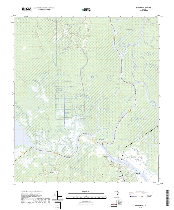
2024 Map of Jackson River
USGS Topo · Published 2024About this map
The Apalachicola River corridor dominates this coastal Florida landscape, where the main channel branches into a complex network of waterways including the Brothers River and Saint Marks River. This is a terrain defined by shifting water, from the expansive Lake Wimico in the west to the braided channels surrounding Forbes Island and Saint Marks Island. The map documents a sparsely settled region where human activity is often confined to named landings and points along the riverbanks, such as Old Womans Bluff and The Pinhook.
Find a feature on this map
68 named features on this map. Tap any name to fly to it.
Don’t see what you’re looking for? This feature index may not catch every label — zoom into the map to look around manually.
Map Details
Editions of this 2024 Jackson River Map
This is the sole edition of this map. No revisions or reprints were ever made.
Other maps of this area

1943 · West Pass
USGS Topo · 1:31,680

1943 · Apalachicola
USGS Topo · 1:31,680

1943 · Indian Pass
USGS Topo · 1:24,000

1943 · Jackson River
USGS Topo · 1:24,000

1944 · White City
USGS Topo · 1:24,000

1944 · Apalachicola
USGS Topo · 1:24,000

1944 · Forbes Island
USGS Topo · 1:24,000

1945 · Forbes Island
USGS Topo · 1:31,680

1945 · Lake Wimico
USGS Topo · 1:31,680

1945 · White City
USGS Topo · 1:31,680