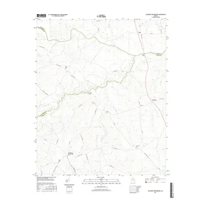
2017 Map of Jacksons Crossroads
USGS Topo · Published 2017About this map
Broad River serves as the primary boundary line between Elbert, Oglethorpe, and Wilkes counties, defining the northern landscape of this rural Georgia terrain. The map details a region characterized by small crossroads settlements and family-named landmarks, such as Bell, Norman, and Jacksons Crossroads. The intricate network of creek systems, including Goosepond Cr, Long Creek, and Chickasaw Cr, dictates the placement of early infrastructure like Gunnells Bridge and Bells Bridge. For local historians and genealogists, the map identifies specific burial sites like Rocky Branch Cem, Saint Johns Cem, and Mallorysville Cem. The road network, with routes such as Saxon Mattox Rd and Mallorysville Rd, connects these isolated communities and historic church locations, reflecting the deep-rooted agricultural and social patterns of the Wilkes County countryside.
Find a feature on this map
47 named features on this map. Tap any name to fly to it.
Don’t see what you’re looking for? This feature index may not catch every label — zoom into the map to look around manually.
Map Details
Editions of this 2017 Jacksons Crossroads Map
This is the sole edition of this map. No revisions or reprints were ever made.
Other maps of this area

1893 · Elberton
USGS Topo · 1:125,000

1906 · Crawfordville
USGS Topo · 1:125,000

1953 · Athens
USGS Topo · 1:250,000

1954 · Greenville
USGS Topo · 1:250,000

1955 · Tignall
USGS Topo · 1:24,000

1955 · Broad
USGS Topo · 1:24,000

1958 · Greenville
USGS Topo · 1:250,000

1958 · Athens
USGS Topo · 1:250,000

1958 · Elberton
USGS Topo · 1:62,500

1959 · Athens
USGS Topo · 1:250,000