2023 Map of Jacksonville
USGS Topo · Published 2023About this map
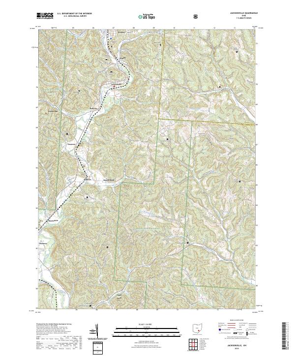
Sunday Creek flows through a series of coal-country settlements including Glouster, Trimble, and Jacksonville, marking a landscape defined by its narrow valleys and prominent ridges. This modern survey reveals the persistent human footprint in the Wayne National Forest, where small communities like Millfield, Redtown, and Truetown occupy the flats between Taylor Ridge and Oregon Ridge. The geography is notably rich in family and community burial grounds, from Queen of Heaven Cem in the north to Augustine Cem near Sugar Creek in the south, providing a dense map of local genealogy. These cemeteries, alongside landmarks like Mt Nebo and Peach Ridge, trace the legacy of rural life in the Hocking Valley. The network of township roads and routes like Co RD 99 and Jacksonville RD connect these hillside hamlets, following the natural breaks of Congress Run and the McDougall Branch as they drain toward the Hocking River.
Find a feature on this map
111 named features on this map. Tap any name to fly to it.
Don’t see what you’re looking for? This feature index may not catch every label — zoom into the map to look around manually.
Map Details
Editions of this 2023 Jacksonville Map
This is the sole edition of this map. No revisions or reprints were ever made.
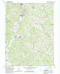
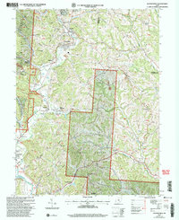
Historical Maps of Trimble Through Time
3 maps found
Featured Locations
- Dover Township, OH
- Glouster, Trimble Township
- Jacksonville, Trimble Township
- Trimble, Trimble Township
- Chauncey, Dover Township