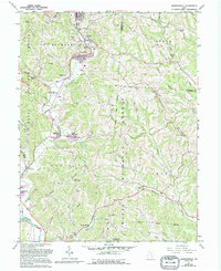
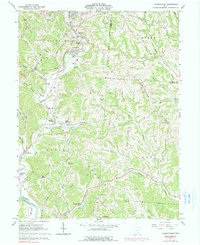
1961 Map of Jacksonville
USGS Topo · Published 1995About this map
Jacksonville and the surrounding coal-country settlements of the Sunday Creek valley appear here in a landscape heavily defined by extraction and mid-century topography. The map illustrates a dense concentration of mining activity, with numerous Strip Mines and Tipple sites peppered along Trimble Ridge and Oregon Ridge. These industrial features sit alongside a network of small communities like Trimble, Glouster, and Millfield, where the Township High Sch and multiple family cemeteries like Lefever Cem and Sands Cem anchor the local history.
Find a feature on this map
76 named features on this map. Tap any name to fly to it.
Don’t see what you’re looking for? This feature index may not catch every label — zoom into the map to look around manually.
Map Details
Editions of this 1961 Jacksonville Map
5 editions found
Other maps of this area

1903 · Athens
USGS Topo · 1:62,500

1904 · Chesterhill
USGS Topo · 1:62,500

1905 · Athens
USGS Topo · 1:62,500

1906 · Chesterhill
USGS Topo · 1:62,500

1910 · Mc Connelsville
USGS Topo · 1:62,500

1911 · New Lexington
USGS Topo · 1:62,500

1947 · Columbus
USGS Topo · 1:250,000

1949 · Clarksburg
USGS Topo · 1:250,000

1956 · Clarksburg
USGS Topo · 1:250,000

1960 · Amesville
USGS Topo · 1:24,000