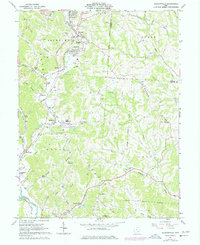
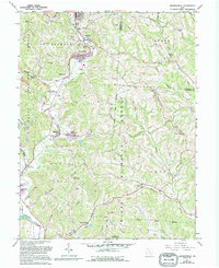
1961 Map of Jacksonville
USGS Topo · Published 1977About this map
Sunday Creek carves a path through the Hocking Valley on this mid-century survey, anchoring a landscape defined by its industrial and social hubs. Coal mining activity is evidenced by multiple strip mines, tipples, and extensive tailings near Jacksonville and Millfield. These settlements are linked by the Conrail lines, illustrating the area's historical reliance on rail for moving resources out of the hills.
Find a feature on this map
72 named features on this map. Tap any name to fly to it.
Don’t see what you’re looking for? This feature index may not catch every label — zoom into the map to look around manually.
Map Details
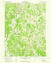
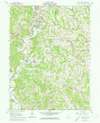
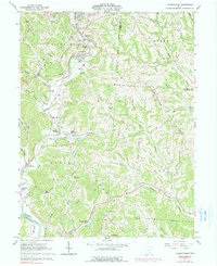
Editions of this 1961 Jacksonville Map
5 editions found
Other maps of this area

1903 · Athens
USGS Topo · 1:62,500

1904 · Chesterhill
USGS Topo · 1:62,500

1905 · Athens
USGS Topo · 1:62,500

1906 · Chesterhill
USGS Topo · 1:62,500

1910 · Mc Connelsville
USGS Topo · 1:62,500

1911 · New Lexington
USGS Topo · 1:62,500

1947 · Columbus
USGS Topo · 1:250,000

1949 · Clarksburg
USGS Topo · 1:250,000

1956 · Clarksburg
USGS Topo · 1:250,000

1960 · Amesville
USGS Topo · 1:24,000