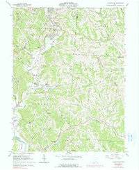
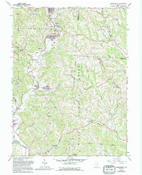
1961 Map of Jacksonville
USGS Topo · Published 1990About this map
Sunday Creek flows through a landscape defined by its extractive industry and rail connectivity in this mid-century portrait of Athens County. The northern corridor is densely settled with mining-era towns like Glouster, Trimble, and Jacksonville, where a Township High Sch and numerous churches such as Queen of Heaven Ch served a concentrated population. The legacy of the coal industry is visible in the scattered Mine sites, Tipple locations, and extensive Tailings deposits along the valley floors.
Find a feature on this map
65 named features on this map. Tap any name to fly to it.
Don’t see what you’re looking for? This feature index may not catch every label — zoom into the map to look around manually.
Map Details
Editions of this 1961 Jacksonville Map
5 editions found
Other maps of this area

1903 · Athens
USGS Topo · 1:62,500

1904 · Chesterhill
USGS Topo · 1:62,500

1905 · Athens
USGS Topo · 1:62,500

1906 · Chesterhill
USGS Topo · 1:62,500

1910 · Mc Connelsville
USGS Topo · 1:62,500

1911 · New Lexington
USGS Topo · 1:62,500

1947 · Columbus
USGS Topo · 1:250,000

1949 · Clarksburg
USGS Topo · 1:250,000

1956 · Clarksburg
USGS Topo · 1:250,000

1960 · Amesville
USGS Topo · 1:24,000