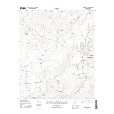
2014 Map of Jacksonville West
USGS Topo · Published 2014About this map
Jacksonville and its surrounding communities in Calhoun County are documented here as they appeared in 2014. The urban layout of the city is anchored by the campus of Jacksonville State University and the extensive grounds of the Jacksonville Cemetery. The map captures a mix of residential growth and established rural landmarks, tracing the path of the Rudy Abbott Hwy as it connects several smaller settlements.
Find a feature on this map
221 named features on this map. Tap any name to fly to it.
Don’t see what you’re looking for? This feature index may not catch every label — zoom into the map to look around manually.
Map Details
Editions of this 2014 Jacksonville West Map
This is the sole edition of this map. No revisions or reprints were ever made.
Other maps of this area

1900 · Anniston
USGS Topo · 1:125,000

1947 · Anniston
USGS Topo · 1:24,000

1947 · Colvin Gap
USGS Topo · 1:24,000

1947 · Jacksonville
USGS Topo · 1:24,000

1947 · Glencoe
USGS Topo · 1:24,000

1947 · Wellington
USGS Topo · 1:24,000

1947 · Jacksonville
USGS Topo · 1:62,500

1947 · Eulaton
USGS Topo · 1:24,000

1950 · Anniston
USGS Topo · 1:62,500

1953 · Atlanta
USGS Topo · 1:250,000