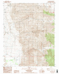
1988 Map of Jail Canyon
USGS Topo · Published 1988About this map
Death Valley National Monument encompasses the high-desert terrain of this 1988 survey, where the deep incisions of Jail Canyon and Hall Canyon cut through the Panamint Range. The map reveals a landscape defined by significant elevation changes, with numerous prospects scattered across the mountain slopes, indicating a history of mineral exploration in the region. To the west, the topography softens into the broad drainage of Wildrose Wash, which leads toward the level expanse of Alkali Flat. Human presence in this isolated area is evidenced by a remote Landing Strip located near the base of the mountains, as well as a network of unimproved roads and four-wheel-drive tracks that navigate the steep alluvial fans and canyon mouths. This provisional edition provides a detailed look at the geographic features within the National Monument Boundary prior to the area's later designation as a national park.
Find a feature on this map
13 named features on this map. Tap any name to fly to it.
Don’t see what you’re looking for? This feature index may not catch every label — zoom into the map to look around manually.
Map Details
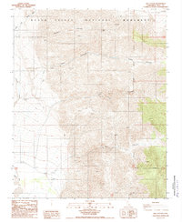
Editions of this 1988 Jail Canyon Map
2 editions found
Other maps of this area

1908 · Ballarat
USGS Topo · 1:250,000

1913 · Ballarat
USGS Topo · 1:250,000

1948 · Death Valley
USGS Topo · 1:250,000

1951 · Panamint Butte
USGS Topo · 1:62,500

1951 · Maturango Peak
USGS Topo · 1:62,500

1952 · Telescope Peak
USGS Topo · 1:62,500

1952 · Emigrant Canyon
USGS Topo · 1:62,500

1954 · Death Valley
USGS Topo · 1:250,000

1956 · Death Valley
USGS Topo · 1:250,000

1957 · Death Valley
USGS Topo · 1:250,000