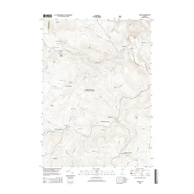
2015 Map of Jamaica
USGS Topo · Published 2015About this map
Jamaica and its surrounding hamlets sit within the eastern reaches of the Green Mountain National Forest, where the terrain is deeply etched by the West River and its numerous tributaries. This landscape is defined by its small, scattered settlements, including West Wardsboro, Wardsboro Center, and the curiously named Podunk in the south. The concentration of family and community burial grounds, such as Wilder Cem, Mundell-Bourne Cem, and the Seventh Day Adventist Church Cem, provides a detailed record of the families who settled these steep valleys.
Find a feature on this map
78 named features on this map. Tap any name to fly to it.
Don’t see what you’re looking for? This feature index may not catch every label — zoom into the map to look around manually.
Map Details
Editions of this 2015 Jamaica Map
This is the sole edition of this map. No revisions or reprints were ever made.
Other maps of this area

1889 · Wilmington
USGS Topo · 1:62,500

1891 · Wilmington
USGS Topo · 1:62,500

1891 · Brattleboro
USGS Topo · 1:62,500

1893 · Brattleboro
USGS Topo · 1:62,500

1894 · Londonderry
USGS Topo · 1:62,500

1899 · Londonderry
USGS Topo · 1:62,500

1899 · Wilmington
USGS Topo · 1:62,500

1930 · Saxtons River
USGS Topo · 1:48,000

1932 · Brattleboro
USGS Topo · 1:48,000

1933 · Saxtons River
USGS Topo · 1:62,500