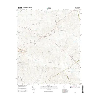
2014 Map of James
USGS Topo · Published 2014About this map
Mountain Springs and the surrounding rural communities of Jones and Wilkinson Counties are defined by a network of family cemeteries and winding creek beds. This modern topographic study shows the convergence of several major water systems, including the headwaters of Commissioner Cr and the marshy stretches of Slash Cr. The landscape is characterized by its agricultural corridors, with historic family-named burial sites such as the Happoldt - Stevens Cem and Ethridge - Minter Cem serving as quiet landmarks for local genealogists. Roadways like Ga-49 and E Ga-18 intersect at Greenberry Crossroads, while smaller settlements like James and Brooks sit along the county lines. These small-scale hubs and the many named ponds, including Slocumbs Lake and Oetter Lake, illustrate the enduring rural settlement patterns of central Georgia.
Find a feature on this map
86 named features on this map. Tap any name to fly to it.
Don’t see what you’re looking for? This feature index may not catch every label — zoom into the map to look around manually.
Map Details
Editions of this 2014 James Map
This is the sole edition of this map. No revisions or reprints were ever made.
Other maps of this area

1953 · Athens
USGS Topo · 1:250,000

1956 · Gordon
USGS Topo · 1:62,500

1956 · Macon East
USGS Topo · 1:24,000

1956 · Macon
USGS Topo · 1:62,500

1957 · Macon
USGS Topo · 1:250,000

1958 · Macon
USGS Topo · 1:250,000

1958 · Athens
USGS Topo · 1:250,000

1959 · Athens
USGS Topo · 1:250,000

1963 · Athens
USGS Topo · 1:250,000

1964 · Macon
USGS Topo · 1:250,000