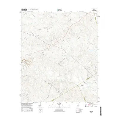
2017 Map of James
USGS Topo · Published 2017About this map
Greenberry Crossroads and the surrounding Georgia countryside are mapped here along the borders of Jones, Wilkinson, Baldwin, and Twiggs counties. The landscape is defined by its drainages, including the eastward-flowing Commissioner Cr and several tributary systems such as Wolf Cr and Slash Cr. These waterways are dotted with small impoundments like Jones Lake and Otter Lake, reflecting a rural topography of agricultural land and wooded lowlands.
Find a feature on this map
83 named features on this map. Tap any name to fly to it.
Don’t see what you’re looking for? This feature index may not catch every label — zoom into the map to look around manually.
Map Details
Editions of this 2017 James Map
This is the sole edition of this map. No revisions or reprints were ever made.
Other maps of this area

1953 · Athens
USGS Topo · 1:250,000

1956 · Gordon
USGS Topo · 1:62,500

1956 · Macon East
USGS Topo · 1:24,000

1956 · Macon
USGS Topo · 1:62,500

1957 · Macon
USGS Topo · 1:250,000

1958 · Macon
USGS Topo · 1:250,000

1958 · Athens
USGS Topo · 1:250,000

1959 · Athens
USGS Topo · 1:250,000

1963 · Athens
USGS Topo · 1:250,000

1964 · Macon
USGS Topo · 1:250,000