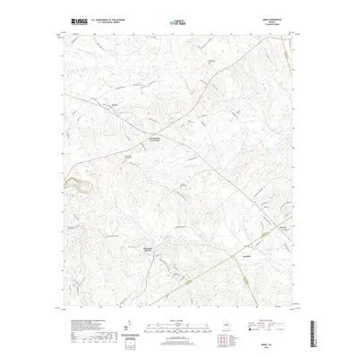
2020 Map of James
USGS Topo · Published 2020About this map
Greenberry Crossroads and the settlement at James anchor this central Georgia landscape, where numerous family burial grounds and small community landmarks define the local geography. The area is intersected by the boundaries of Jones, Baldwin, Wilkinson, and Twiggs counties, creating a complex jurisdictional patchwork. Waterways like Commissioner Cr and Wolf Cr wind through the terrain, historically influencing the placement of sites such as Mountain Springs and Lewiston. Genealogists will find a wealth of specific memorial sites, including the William Wood Family Cem, Pickart Cem, and the Ethridge-Minter Cem. The map illustrates a rural network of named routes like Buckwallow Rd and Maying Dairy Rd, reflecting a landscape dedicated to long-standing land holdings and dispersed agricultural communities.
Find a feature on this map
81 named features on this map. Tap any name to fly to it.
Don’t see what you’re looking for? This feature index may not catch every label — zoom into the map to look around manually.
Map Details
Editions of this 2020 James Map
This is the sole edition of this map. No revisions or reprints were ever made.
Other maps of this area

1953 · Athens
USGS Topo · 1:250,000

1956 · Gordon
USGS Topo · 1:62,500

1956 · Macon East
USGS Topo · 1:24,000

1956 · Macon
USGS Topo · 1:62,500

1957 · Macon
USGS Topo · 1:250,000

1958 · Macon
USGS Topo · 1:250,000

1958 · Athens
USGS Topo · 1:250,000

1959 · Athens
USGS Topo · 1:250,000

1963 · Athens
USGS Topo · 1:250,000

1964 · Macon
USGS Topo · 1:250,000