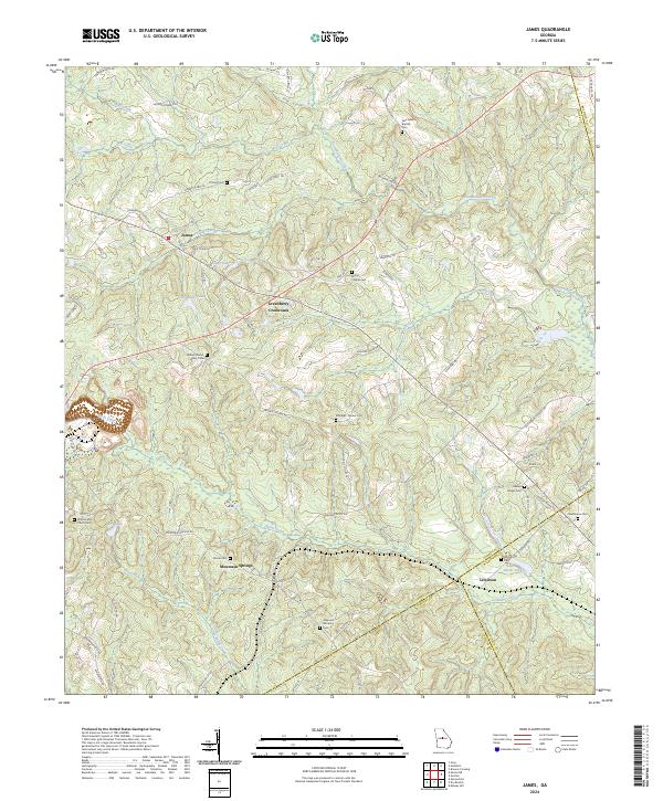
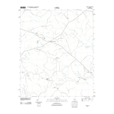
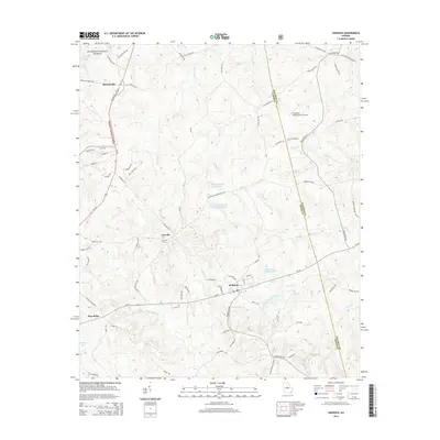
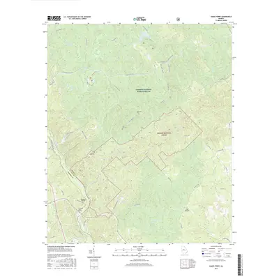
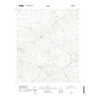
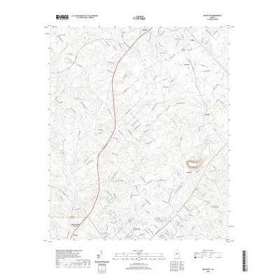
2024 Map of James
USGS Topo · Published 2024About this map
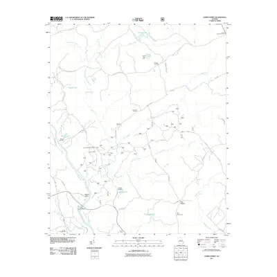
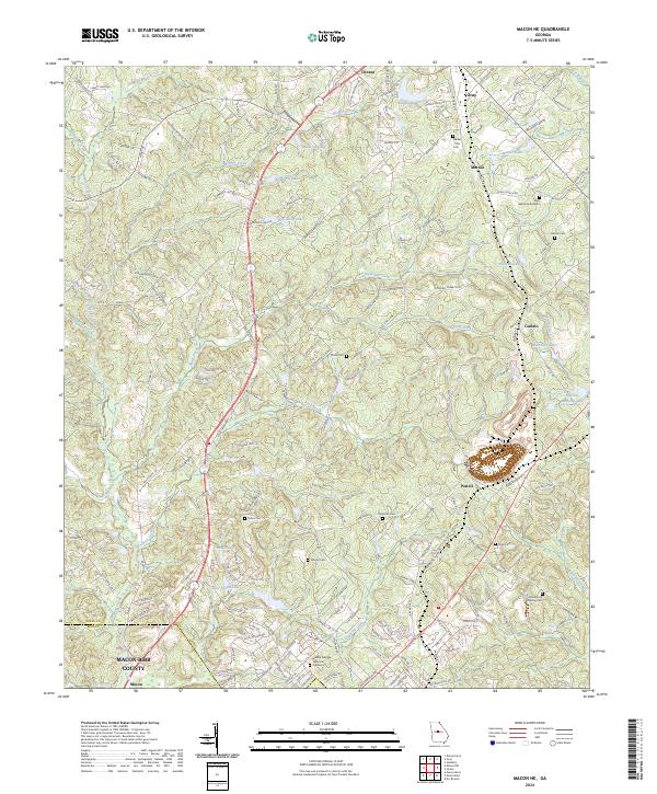
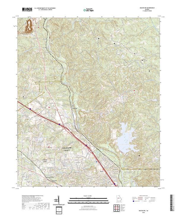
Commissioner Creek and its many tributaries, including Wolf Creek, Big Creek, and Slash Creek, define the landscape of this rural Georgia corridor. Small community hubs like Mountain Springs and Greenberry Crossroads serve as navigational anchors amidst a network of country roads such as Griswoldville Short-Cut and Buckwallow Rd. The area is notably dense with family and community burial grounds, preserving local names through sites like William Wood Family Cem and the Happoldt Stevens Cem.
Find a feature on this map
82 named features on this map. Tap any name to fly to it.
Don’t see what you’re looking for? This feature index may not catch every label — zoom into the map to look around manually.
Map Details
Editions of this 2024 James Map
This is the sole edition of this map. No revisions or reprints were ever made.
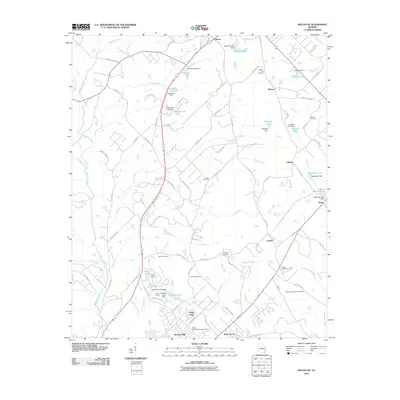
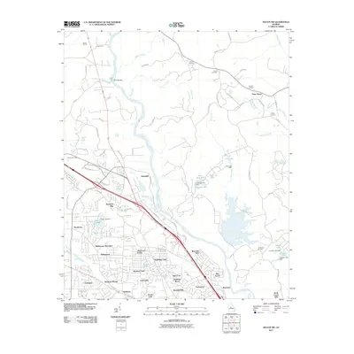
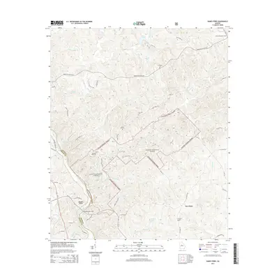
Historical Maps of Brooks Through Time
30 maps found
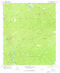
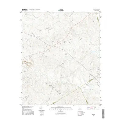
1964 Dames Ferry
Jones County, GA
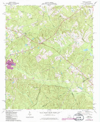
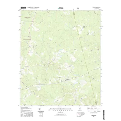
1973 James
Jones County, GA
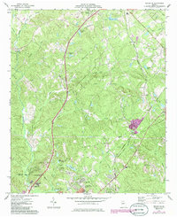
1973 Macon NE
Jones County, GA
1973 Macon NW
Jones County, GA
1978 Haddock
Jones County, GA
2011 Dames Ferry
Jones County, GA
2011 Haddock
Jones County, GA
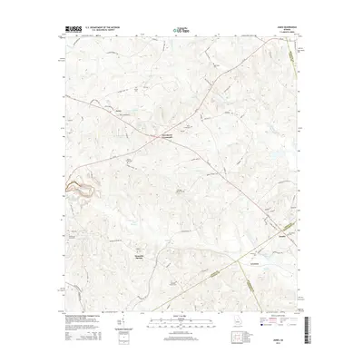
2011 James
Jones County, GA
2011 Macon NE
Jones County, GA
2011 Macon NW
Jones County, GA
2014 Dames Ferry
Jones County, GA
2014 Haddock
Jones County, GA
2014 James
Jones County, GA
2014 Macon NE
Jones County, GA
2014 Macon NW
Jones County, GA
2017 Dames Ferry
Jones County, GA
2017 Haddock
Jones County, GA
2017 James
Jones County, GA
2017 Macon NE
Jones County, GA
2017 Macon NW
Jones County, GA
2020 Dames Ferry
Jones County, GA
2020 Haddock
Jones County, GA
2020 James
Jones County, GA
2020 Macon NE
Jones County, GA
2020 Macon NW
Jones County, GA
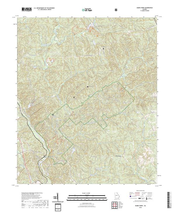
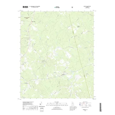
2024 Dames Ferry
Jones County, GA
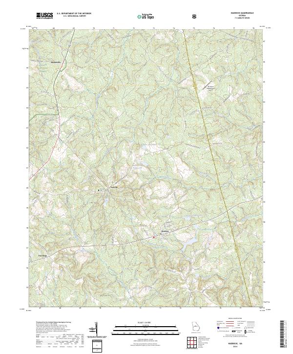
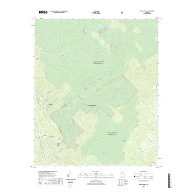
2024 Haddock
Jones County, GA
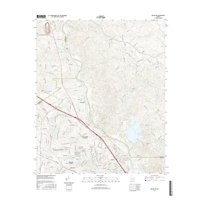
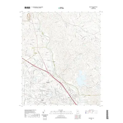
2024 James
Jones County, GA
2024 Macon NE
Jones County, GA
2024 Macon NW
Jones County, GA