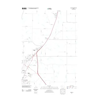
2013 Map of James
USGS Topo · Published 2013About this map
The Floyd River valley serves as the central corridor for this 2013 landscape north of Sioux City, where the waterway meanders through a mix of agricultural fields and expanding residential pockets. The settlement of James sits at a crossroads near the river, while further south, the suburban transition becomes more apparent through the neighborhoods of Evergreen Village, Leeds, and Springdale. This era shows a distinctive pattern of land use where large rural tracts are increasingly punctuated by organized residential developments like Holiday Village.
Find a feature on this map
109 named features on this map. Tap any name to fly to it.
Don’t see what you’re looking for? This feature index may not catch every label — zoom into the map to look around manually.
Map Details
Editions of this 2013 James Map
This is the sole edition of this map. No revisions or reprints were ever made.
Other maps of this area

1955 · Sioux City
USGS Topo · 1:250,000

1958 · Sioux City
USGS Topo · 1:250,000

1959 · Sioux City
USGS Topo · 1:250,000

1962 · Union Center
USGS Topo · 1:62,500

1963 · Sioux City South
USGS Topo · 1:24,000

1963 · Sioux City North
USGS Topo · 1:24,000

1964 · Sergeant Bluff
USGS Topo · 1:24,000

1964 · James
USGS Topo · 1:24,000

1964 · Hinton
USGS Topo · 1:24,000

1964 · Lawton
USGS Topo · 1:24,000