2023 Map of Jamestown
USGS Topo · Published 2023About this map
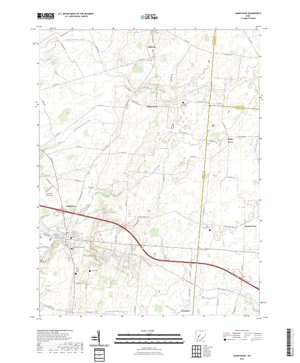
Jamestown serves as the primary hub of this landscape, where the convergence of rural roads and waterways like Caesar Creek and North Branch Caesar Creek defines the local topography. The area is marked by a high density of small family and community burial grounds, including the Mills - McKillip Cem and Quaker Cem. These sites, along with the Old Silver Creek Cem, offer significant points of interest for genealogists tracing the early settlement patterns of the region. The map also reveals specialized landmarks such as Aerodrome Les Noyers, positioned just west of the main settlement. Further north and east, smaller hamlets like Grape Grove and Shady Grove sit along a network of county highways, highlighting the agricultural and residential layout of Greene and Fayette counties in the early twenty-first century.
Find a feature on this map
73 named features on this map. Tap any name to fly to it.
Don’t see what you’re looking for? This feature index may not catch every label — zoom into the map to look around manually.
Map Details
Editions of this 2023 Jamestown Map
This is the sole edition of this map. No revisions or reprints were ever made.
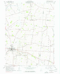
Historical Maps of Shady Grove Through Time
Featured Locations
- Pleasant View, OH
- Shady Grove, OH
- Stokes Township, OH
- Cedarville Township, OH
- Jamestown, Silvercreek Township