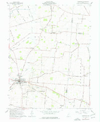
1961 Map of Jamestown
USGS Topo · Published 1977About this map
Jamestown serves as the hub of this rural landscape in Greene County, where agricultural patterns are shaped by the winding course of Caesar Creek and the South Branch Caesar Creek. This 1961 field-checked survey reveals a high density of early burial grounds, including the Old Silver Creek Cem and the Quaker Cem, indicating a long-established community with deep ancestral roots. The village infrastructure includes the Township High Sch and a municipal Sewage Disposal plant, while the surrounding townships of Ross and Silver Creek are dotted with small crossroads settlements like Gladstone, Grape Grove, and Bell Center. The local economy of the mid-20th century is mapped through an extensive grid of named thoroughfares such as Rogers Road and the Baltimore and Ohio Road, which connect isolated farmsteads and rural schools like the Township Sch to the larger market centers.
Find a feature on this map
65 named features on this map. Tap any name to fly to it.
Don’t see what you’re looking for? This feature index may not catch every label — zoom into the map to look around manually.
Map Details
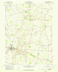
Editions of this 1961 Jamestown Map
2 editions found
Other maps of this area

1904 · Springfield
USGS Topo · 1:62,500

1906 · Springfield
USGS Topo · 1:62,500

1907 · South Charleston
USGS Topo · 1:62,500

1916 · Octa
USGS Topo · 1:62,500

1917 · Xenia
USGS Topo · 1:62,500

1944 · Octa
USGS Topo · 1:62,500

1947 · Columbus
USGS Topo · 1:250,000

1954 · Clifton
USGS Topo · 1:24,000

1955 · Cedarville
USGS Topo · 1:24,000

1955 · Port William
USGS Topo · 1:24,000