Old Maps of Stokes Township, Ohio
Explore 46 old maps of Stokes Township, spanning from 1906 to today. These high-resolution historic maps reveal how streets, neighborhoods, landmarks, and natural features evolved over time — perfect for genealogy, metal detecting, research, and local history exploration.
What you can do with these maps:
- See how Stokes Township changed over time: Compare historical maps to modern-day views to trace roads, homesites, rail lines & more.
- View detailed metadata: Each map includes creators, publishers, year, scale, and archive source.
- Overlay maps with satellite & LiDAR: Visualize the past alongside modern tools to explore terrain & human change.
- Trusted historical sources: Maps sourced from the USGS, Library of Congress, and other archives.
- Access maps your way: View online, download high-res files, or order prints for personal or research use.
Start exploring old maps of Stokes Township to uncover forgotten places, hidden landmarks, and the deep history beneath your feet.
Stokes Township, OH maps
(46)- 1906 Map of Mt Sterling, 1946 Print
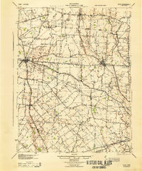
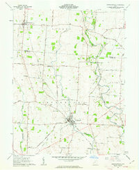
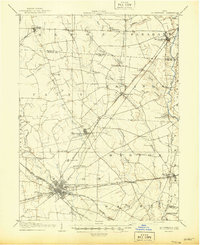 1906 Mt Sterling1946 Print · USGSCentral Ohio at the start of the twentieth century is a landscape of thriving rail hubs and rural townships. Trace the convergence of five railroads at Washington Courthouse and find family landmarks like the County Infirmary or Bloomingburg.
 - 1907 Map of London, 1940 Print
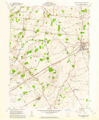
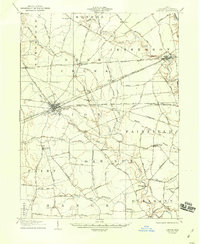 1907 London1940 Print · USGSMadison County at the turn of the century shows a landscape transitioning through the height of the electric railway era. Genealogists can trace the rural schoolhouses like Dunn School and Glade School or locate family sites near Lilly Chapel and Lafayette.2 unique versions available
 - 1907 Map of South Charleston, 1943 Print
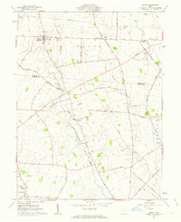
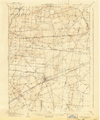 1907 South Charleston1943 Print · USGSThe Clark County countryside at the turn of the century shows a landscape dominated by rail travel and local school districts. Genealogists can locate family-named landmarks such as Yeazel School, Pancake Chapel, and the settlement of Dolly Varden.2 unique versions available
 - 1916 Map of Octa, 1941 Print
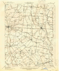 1916 Octa1941 Print · USGSFayette and Greene Counties are captured here at a peak of rural development, prior to the consolidation of its numerous neighborhood school districts. You can trace the rail-era infrastructure of Octa and Jeffersonville or locate early community sites like Dakin Chapel and the Selden PO.
 - 1944 Map of Octa
 1944 Octa1944 Print · USGSSouthwestern Ohio at the end of the Second World War shows a landscape dense with rural schoolhouses and rail-connected villages. Genealogists can trace family roots through dozens of local landmarks like Sugar Grove Sch, Selden PO, and the junction at Octa.
 - 1947 Map of Columbus, 1948 Print
 1947 Columbus1948 Print · USGSCentral Ohio in the late 1940s is captured in this survey, showing the post-war transition of its rail hubs and military airfield expansions. Genealogists and historians can trace the paths of the Ohio Canal, the Pennsylvania RR lines, and the Camp Sherman Military Reservation.
 - 1961 Map of Columbus
 1961 Columbus1961 Print · USGSCentral and Southern Ohio are captured here in the early sixties, as the region's industrial rail hubs and military bases reached their peak. Genealogists and historians can trace the transition from urban Columbus to rural townships along the Scioto River, locating Lockbourne USAF and old junctions like Washington Court House.
 - 1961 Map of Florence, 1962 Print
 1961 Florence1962 Print · USGSThe Madison County countryside in the early sixties is a detailed network of family farm lanes and rural church yards. Genealogists can trace family names through landmarks like Pancake Cem, Williams Chapel, and Selsor Moon Road.3 unique versions available
 - 1961 Map of Walnut Run, 1962 Print
 1961 Walnut Run1962 Print · USGSMadison County's rural landscape is captured in the early sixties, showing a transition from traditional farming to modern infrastructure. Genealogists can locate family burial grounds like Kirkwood Cem and Evans Cem alongside the waters of Walnut Run.2 unique versions available
 - 1961 Map of Jamestown, 1963 Print
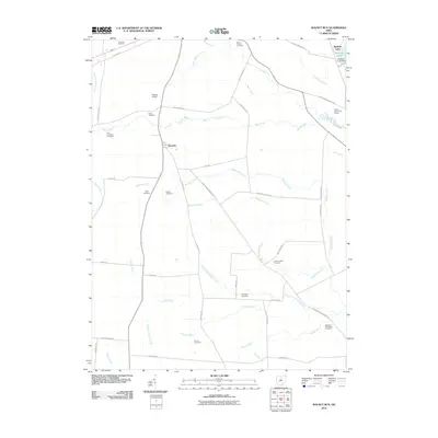
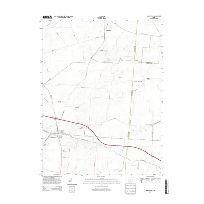
 1961 Jamestown1963 Print · USGSJamestown and its surrounding agricultural townships are captured here in the early sixties, showing a landscape defined by small farming communities and historic burial grounds. Genealogists can trace family locations near the Quaker Cem, Old Silver Creek Cem, or the Township Sch at Grape Grove.2 unique versions available
 - 1961 Map of Jeffersonville, 1963 Print
 1961 Jeffersonville1963 Print · USGSThe rural crossing of Fayette and Madison counties is captured here in the early sixties, centered on the rail hub of Jeffersonville. Trace family history through numerous small plots like Hogue-Allen Cem and the Bookwalter Sch.3 unique versions available
 - 1961 Map of South Charleston, 1963 Print
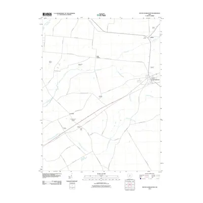
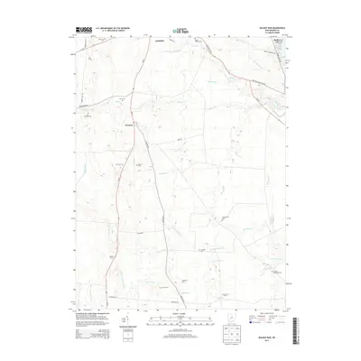
 1961 South Charleston1963 Print · USGSThe Clark County countryside in the early 1960s is defined by the busy rail junction at South Charleston and the fertile valleys of the Little Miami River. Family historians can trace ancestral sites at the Old Quaker Cem, Lisbon Cem, or the small village of Cortsville.3 unique versions available
 - 1961 Map of Midway, 1963 Print
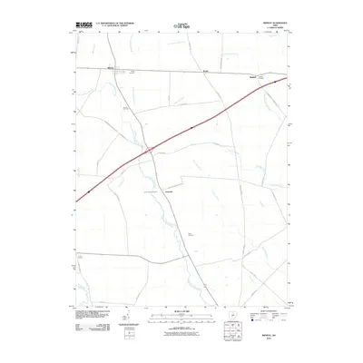
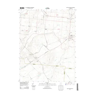
 1961 Midway1963 Print · USGSMidway and the rural townships of Madison and Fayette counties are captured here in the early sixties, within the bounds of the old Virginia Military District. Genealogists and local historians can trace family roots at Union Chapel, Bethel Cem, or the small settlement of Yatesville.2 unique versions available
 - 1962 Map of Columbus
 1962 Columbus1962 Print · USGSCentral Ohio during the early sixties reveals a transition from the industrial corridors of Columbus to the forested ridges of the south. Genealogists and historians can trace the rail networks of the Baltimore & Ohio RR and find local landmarks like Washington Court House and Camp Sherman Military Reservation.
 - 1967 Map of Columbus, 1969 Print
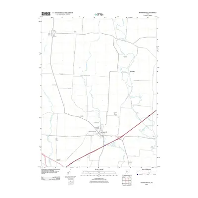
 1967 Columbus1969 Print · USGSCentral Ohio during the late sixties serves as a vital corridor of rail and aviation, from the industrial streets of Springfield to the hangar lines of Lockbourne Air Force Base. Genealogists and researchers can trace the growth of towns like Circleville and London or locate rural landmarks such as St Paul church and the London Correctional Institution.2 unique versions available
 - 1986 Map of Springfield
 1986 Springfield1986 Print · USGSCentral Ohio in the mid-1980s shows the bustling rail-and-road network connecting Springfield and Xenia to the western outskirts of Columbus. Researchers can trace old family sites and transit routes through Glen Haven Mem Cem, Madison Lake State Park, and the CONRAIL line.2 unique versions available
 - 2010 Map of Jamestown, 2010 Print
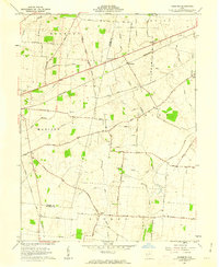
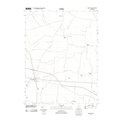 2010 Jamestown2010 Print · USGSCovers Stokes Township, including Jamestown, Shady Grove, and other nearby areas
 - 2010 Map of Walnut Run, 2010 Print
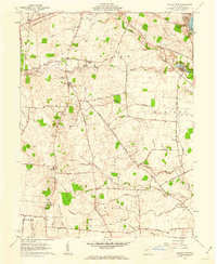
 2010 Walnut Run2010 Print · USGSCovers Stokes Township, including London, Paint Township, and other nearby areas
 - 2010 Map of Jeffersonville, 2010 Print
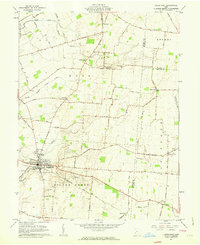
 2010 Jeffersonville2010 Print · USGSCovers Stokes Township, including Jeffersonville, South Solon, and other nearby areas
 - 2010 Map of Midway, 2010 Print
 2010 Midway2010 Print · USGSCovers Stokes Township, including Range, Midway, and other nearby areas
 - 2010 Map of South Charleston, 2010 Print
 2010 South Charleston2010 Print · USGSCovers Stokes Township, including South Charleston, Selma, and other nearby areas
 - 2010 Map of Florence, 2010 Print
 2010 Florence2010 Print · USGSCovers Stokes Township, including Paint Township, Union Township, and other nearby areas
 - 2013 Map of Jamestown, 2013 Print
 2013 Jamestown2013 Print · USGSCovers Stokes Township, including Jamestown, Shady Grove, and other nearby areas
 - 2013 Map of South Charleston, 2013 Print
 2013 South Charleston2013 Print · USGSCovers Stokes Township, including South Charleston, Selma, and other nearby areas
 - 2013 Map of Walnut Run, 2013 Print
 2013 Walnut Run2013 Print · USGSCovers Stokes Township, including London, Paint Township, and other nearby areas
Showing maps 1-25 of 46
Top cities near Stokes Township
- Springfield historical maps
- Washington Court House historical maps
- London historical maps
- West Jefferson historical maps
- Harmony historical maps
- Jamestown historical maps
See more
Top neighborhoods of Stokes Township
Frequently asked questions
- What are the different types of historical maps available for Stokes Township?
- What is the oldest map of Stokes Township?
- Where can I purchase historical maps of Stokes Township for my home or office?
- Where can I download high-res historical maps of Stokes Township?
- Are there historical topographic maps available for Stokes Township?
- Is there historical aerial imagery available for Stokes Township?
- Where are historical maps of Stokes Township sourced from?