
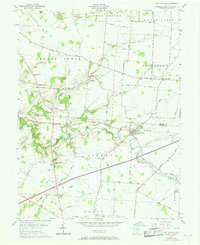
1955 Map of Port William
USGS Topo · Published 1956About this map
Port William and its surrounding farmsteads characterize this mid-1950s survey of the Virginia Military District. The landscape is defined by the winding course of Anderson Fork and Caesar Creek, which dictate the placement of early settlements and rural infrastructure. Local community life is anchored by landmarks such as the Mt Tabor Ch and educational centers like Caesar Creek Sch and Mt Pleasant Sch.
Find a feature on this map
61 named features on this map. Tap any name to fly to it.
Don’t see what you’re looking for? This feature index may not catch every label — zoom into the map to look around manually.
Map Details
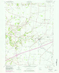
Editions of this 1955 Port William Map
Other maps of this area

1907 · Blanchester
USGS Topo · 1:62,500

1916 · Octa
USGS Topo · 1:62,500

1917 · Xenia
USGS Topo · 1:62,500

1917 · Sabina
USGS Topo · 1:62,500

1943 · Sabina
USGS Topo · 1:62,500

1944 · Octa
USGS Topo · 1:62,500

1947 · Columbus
USGS Topo · 1:250,000

1955 · New Burlington
USGS Topo · 1:24,000

1955 · Cedarville
USGS Topo · 1:24,000
1955 · Xenia
USGS Topo · 1:24,000