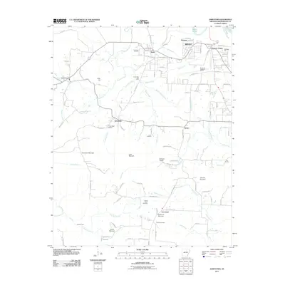
2011 Map of Jamestown
USGS Topo · Published 2011About this map
Jamestown Mountain and Hutchinson Mountain anchor this pocket of the Ozark foothills, where small communities are defined by the winding creek beds and narrow hollows. The settlement pattern here is tied to early infrastructure like the Desha Post Office and Locust Grove Post Office, which once served as vital hubs for the surrounding farmsteads. Ancestral roots are scattered across the terrain in small burial grounds such as Alderbrook Cemetery and Palestine Cemetery.
Find a feature on this map
117 named features on this map. Tap any name to fly to it.
Don’t see what you’re looking for? This feature index may not catch every label — zoom into the map to look around manually.
Map Details
Editions of this 2011 Jamestown Map
This is the sole edition of this map. No revisions or reprints were ever made.
Other maps of this area

1890 · Batesville
USGS Topo · 1:125,000

1891 · Batesville
USGS Topo · 1:125,000

1942 · Bethesda
USGS Topo · 1:24,000

1942 · Jamestown
USGS Topo · 1:31,680

1942 · Almond
USGS Topo · 1:31,680

1942 · Salado
USGS Topo · 1:31,680

1942 · Batesville
USGS Topo · 1:31,680

1943 · Sulphur Rock
USGS Topo · 1:31,680

1943 · Batesville
USGS Topo · 1:24,000

1953 · Memphis
USGS Topo · 1:250,000