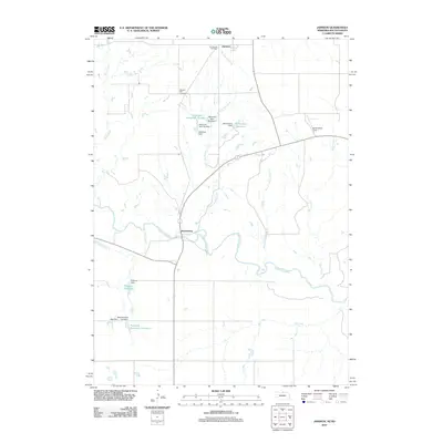
2011 Map of Jamison
USGS Topo · Published 2011About this map
Jamison and Brocksburg anchor this rural landscape along the Nebraska-South Dakota border, where water management defines the local geography. The Keya Paha River winds through the central portion of the quadrangle, joined by numerous tributaries including Spotted Tail Creek, Wolf Creek, and Alkali Creek. This 2011 survey illustrates a sophisticated network of small-scale dams and impoundments, such as Hitchcock Dam Number 3 and Peterson Dam Number 1, which create essential water stores like Hitchcock Reservoir Number 2 and Richardson Reservoir.
Find a feature on this map
25 named features on this map. Tap any name to fly to it.
Don’t see what you’re looking for? This feature index may not catch every label — zoom into the map to look around manually.
Map Details
Editions of this 2011 Jamison Map
This is the sole edition of this map. No revisions or reprints were ever made.
Other maps of this area

1949 · Jamison SW
USGS Topo · 1:24,000

1950 · Mariaville
USGS Topo · 1:24,000

1951 · Jamison SW
USGS Topo · 1:24,000

1951 · Naper SW
USGS Topo · 1:24,000

1955 · Mitchell
USGS Topo · 1:250,000

1955 · O'Neill
USGS Topo · 1:250,000

1959 · O'Neill
USGS Topo · 1:250,000

1959 · Mitchell
USGS Topo · 1:250,000

1964 · Gregory SE
USGS Topo · 1:24,000

1964 · Mills
USGS Topo · 1:24,000