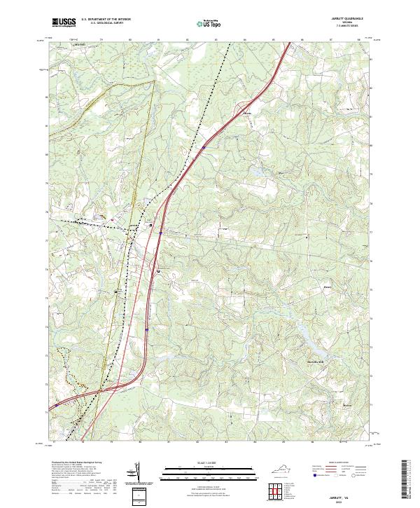
2022 Map of Jarratt
USGS Topo · Published 2022About this map
The town of Jarratt sits at the jurisdictional boundary of Sussex and Greensville counties, serving as a focal point for the surrounding agricultural and timbered landscape of Southside Virginia. The Nottoway River meanders across the northern section of the terrain, feeding into an intricate network of wetlands including Chetoeric Swamp and Flat Swamp. The presence of several historic family and community burial grounds, such as High Hills Cem, Jerusalem Cem, and the Grigg Family Cem, suggests a long-standing pattern of rural settlement. The mapping of Little Mill and Harrells Mill further highlights the region's historical reliance on water-powered industry and the numerous ponds, like Horne Pond and Creath Pond, that define the local drainage. This modern survey illustrates the persistent rural character of the area, even as major transportation corridors bisect the traditional landscape of Applewhite Swamp and Hickory Swamp.
Find a feature on this map
78 named features on this map. Tap any name to fly to it.
Don’t see what you’re looking for? This feature index may not catch every label — zoom into the map to look around manually.
Map Details
Editions of this 2022 Jarratt Map
This is the sole edition of this map. No revisions or reprints were ever made.
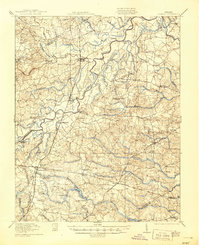
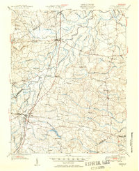
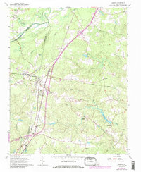
Historical Maps of Owens Through Time
4 maps found