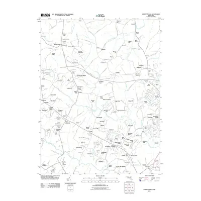
2011 Map of Jarrettsville
USGS Topo · Published 2011About this map
Jarrettsville and its surrounding communities are documented here as they appeared in the early 21st century, revealing a landscape defined by suburban expansion and historical agricultural roots. The area is characterized by numerous small residential developments such as Green Valley, Sharon Acres, and Highfield Park that have integrated into the older rural fabric. This transition is evident in the preservation of several genealogical sites, including the Old Centre Cemetery, Salem Cemetery, and Ebenezer Cemetery.
Find a feature on this map
249 named features on this map. Tap any name to fly to it.
Don’t see what you’re looking for? This feature index may not catch every label — zoom into the map to look around manually.
Map Details
Editions of this 2011 Jarrettsville Map
This is the sole edition of this map. No revisions or reprints were ever made.
Other maps of this area

1893 · Gunpowder
USGS Topo · 1:62,500

1894 · Baltimore
USGS Topo · 1:62,500

1898 · Tolchester
USGS Topo · 1:125,000

1899 · Baltimore
USGS Topo · 1:62,500

1900 · Parkton
USGS Topo · 1:62,500

1901 · Belair
USGS Topo · 1:62,500

1901 · Gunpowder
USGS Topo · 1:62,500

1902 · Parkton
USGS Topo · 1:62,500

1903 · Tolchester
USGS Topo · 1:125,000

1904 · Baltimore
USGS Topo · 1:62,500