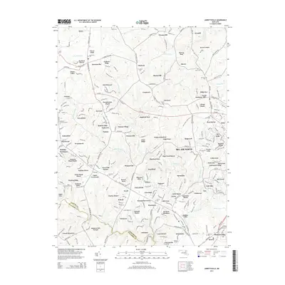
2014 Map of Jarrettsville
USGS Topo · Published 2014About this map
Jarrettsville serves as a central hub for this portion of the Harford County countryside, where the landscape is defined by the headwaters of numerous streams. Waterways like Stirrup Run, Winters Run, and the Little Gunpowder Falls carve through the terrain, historically dictating the placement of roads and early settlements. The map is particularly rich for genealogical research, documenting several distinct burial grounds such as the Old Brick Cem, Watters Cem, and Ebenezer Cem, alongside named residential developments like Dulaney Ridge and Greenfields.
Find a feature on this map
283 named features on this map. Tap any name to fly to it.
Don’t see what you’re looking for? This feature index may not catch every label — zoom into the map to look around manually.
Map Details
Editions of this 2014 Jarrettsville Map
This is the sole edition of this map. No revisions or reprints were ever made.
Other maps of this area

1893 · Gunpowder
USGS Topo · 1:62,500

1894 · Baltimore
USGS Topo · 1:62,500

1898 · Tolchester
USGS Topo · 1:125,000

1899 · Baltimore
USGS Topo · 1:62,500

1900 · Parkton
USGS Topo · 1:62,500

1901 · Belair
USGS Topo · 1:62,500

1901 · Gunpowder
USGS Topo · 1:62,500

1902 · Parkton
USGS Topo · 1:62,500

1903 · Tolchester
USGS Topo · 1:125,000

1904 · Baltimore
USGS Topo · 1:62,500