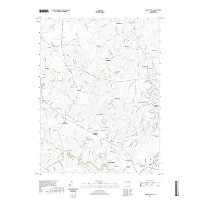
2019 Map of Jarrettsville
USGS Topo · Published 2019About this map
Jarrettsville and the surrounding Harford County countryside are defined by a network of historic rural settlements and family cemeteries. This landscape is intricately drained by the Little Gunpowder Falls and the various branches of Winters Run, which carve through the terrain south of Chrome Hill and Sharon. The mapping of church-affiliated sites like the Fairview African Methodist Episcopal Cem and Providence Methodist Cem provides valuable data for genealogists tracing local lineage.
Find a feature on this map
235 named features on this map. Tap any name to fly to it.
Don’t see what you’re looking for? This feature index may not catch every label — zoom into the map to look around manually.
Map Details
Editions of this 2019 Jarrettsville Map
This is the sole edition of this map. No revisions or reprints were ever made.
Other maps of this area

1893 · Gunpowder
USGS Topo · 1:62,500

1894 · Baltimore
USGS Topo · 1:62,500

1898 · Tolchester
USGS Topo · 1:125,000

1899 · Baltimore
USGS Topo · 1:62,500

1900 · Parkton
USGS Topo · 1:62,500

1901 · Belair
USGS Topo · 1:62,500

1901 · Gunpowder
USGS Topo · 1:62,500

1902 · Parkton
USGS Topo · 1:62,500

1903 · Tolchester
USGS Topo · 1:125,000

1904 · Baltimore
USGS Topo · 1:62,500