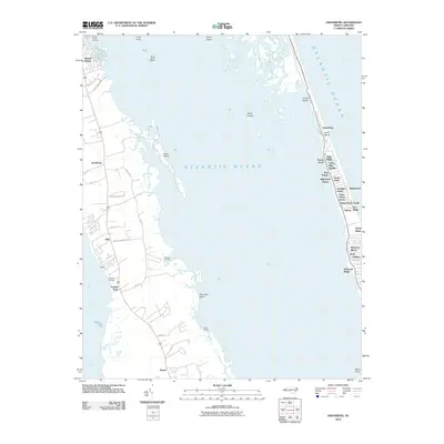
2010 Map of Jarvisburg
USGS Topo · Published 2010About this map
Jarvisburg and Powells Point anchor the mainland peninsula between the North River and the sound, illustrating a landscape defined by its connection to the water. This 2010 survey highlights the contrast between the established mainland communities and the dense residential development along the barrier beach. The eastern strip, separating the Atlantic Ocean from the sound, is a continuous chain of named subdivisions and locales, including Duck, Sanderling, and Caffys Inlet Hamlet.
Find a feature on this map
50 named features on this map. Tap any name to fly to it.
Don’t see what you’re looking for? This feature index may not catch every label — zoom into the map to look around manually.
Map Details
Editions of this 2010 Jarvisburg Map
This is the sole edition of this map. No revisions or reprints were ever made.
Other maps of this area
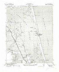
1940 · Barco
USGS Topo · 1:62,500
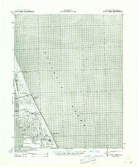
1940 · Kitty Hawk
USGS Topo · 1:62,500
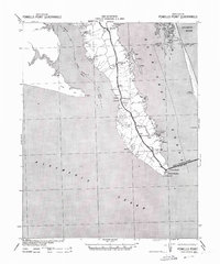
1940 · Powells Point
USGS Topo · 1:62,500
1946 · Eastville
USGS Topo · 1:250,000
1946 · Currituck Sound
USGS Topo · 1:250,000
1961 · Eastville
USGS Topo · 1:250,000
1966 · Eastville
USGS Topo · 1:250,000
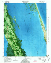
1982 · Jarvisburg
USGS Topo · 1:24,000
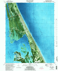
1982 · Kitty Hawk
USGS Topo · 1:24,000
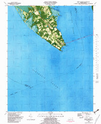
1982 · Point Harbor
USGS Topo · 1:24,000