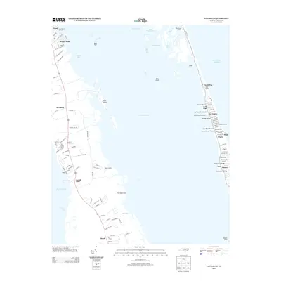
2013 Map of Jarvisburg
USGS Topo · Published 2013About this map
Currituck Sound dominates this coastal landscape, acting as a broad aquatic buffer between the mainland peninsula and the thin barrier islands of the Outer Banks. On the western shore, small communities like Jarvisburg and Powells Point are connected by a road network that reflects traditional land use, punctuated by historical access points such as Newbern Landing and Waltons Landing. These landings represent the long-standing maritime connection between the mainland and the sound.
Find a feature on this map
123 named features on this map. Tap any name to fly to it.
Don’t see what you’re looking for? This feature index may not catch every label — zoom into the map to look around manually.
Map Details
Editions of this 2013 Jarvisburg Map
This is the sole edition of this map. No revisions or reprints were ever made.
Other maps of this area

1940 · Barco
USGS Topo · 1:62,500

1940 · Kitty Hawk
USGS Topo · 1:62,500

1940 · Powells Point
USGS Topo · 1:62,500

1946 · Eastville
USGS Topo · 1:250,000

1946 · Currituck Sound
USGS Topo · 1:250,000

1961 · Eastville
USGS Topo · 1:250,000

1966 · Eastville
USGS Topo · 1:250,000
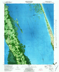
1982 · Jarvisburg
USGS Topo · 1:24,000
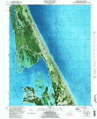
1982 · Kitty Hawk
USGS Topo · 1:24,000
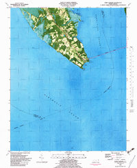
1982 · Point Harbor
USGS Topo · 1:24,000