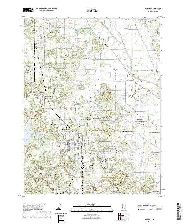
2022 Map of Jasonville
USGS Topo · Published 2022About this map
Jasonville serves as the central hub of this West Central Indiana landscape, where the borders of Sullivan, Clay, and Greene counties converge. The terrain is defined by an intricate network of water management and natural drainage, featuring the Eel River and the historic route of the Wabash and Erie Canal. This canal alignment, alongside modern features like the Shakamak Airport, illustrates the evolution of regional transportation from 19th-century waterways to 21st-century aviation.
Find a feature on this map
121 named features on this map. Tap any name to fly to it.
Don’t see what you’re looking for? This feature index may not catch every label — zoom into the map to look around manually.
Map Details
Editions of this 2022 Jasonville Map
This is the sole edition of this map. No revisions or reprints were ever made.
Other maps of this area

1908 · Clay City
USGS Topo · 1:48,000

1910 · Clay City
USGS Topo · 1:62,500

1938 · Coal City
USGS Topo · 1:24,000

1938 · Switz City
USGS Topo · 1:24,000

1940 · Lewis
USGS Topo · 1:24,000

1940 · Linton
USGS Topo · 1:24,000

1940 · Jasonville
USGS Topo · 1:24,000

1943 · Hymera
USGS Topo · 1:24,000

1943 · Dugger
USGS Topo · 1:24,000

1947 · Switz City
USGS Topo · 1:24,000