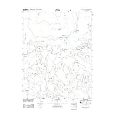
2012 Map of Jawbone Ridge
USGS Topo · Published 2012About this map
Buck Meadows sits as a central junction in this mountain landscape, where the Hetch Hetchy Aqueduct and Buck Meadows Rd cross through the high country. The terrain is defined by the deep canyons of the Tuolumne River and the Clavey River to the north, while the N Fork Merced River touches the southern boundary. This area serves as a significant recreational and utility corridor, evidenced by the numerous specialized sites such as the Oakland Recreation Camp, San Jose Recreation Camp, and Sweetwater Campground.
Find a feature on this map
62 named features on this map. Tap any name to fly to it.
Don’t see what you’re looking for? This feature index may not catch every label — zoom into the map to look around manually.
Map Details
Editions of this 2012 Jawbone Ridge Map
This is the sole edition of this map. No revisions or reprints were ever made.
Other maps of this area

1893 · Sonora
USGS Topo · 1:125,000

1896 · Sonora
USGS Topo · 1:125,000

1897 · Sonora
USGS Topo · 1:125,000

1897 · Yosemite
USGS Topo · 1:125,000

1898 · Sonora
USGS Topo · 1:125,000

1900 · Yosemite
USGS Topo · 1:125,000

1903 · Yosemite
USGS Topo · 1:125,000

1909 · Yosemite
USGS Topo · 1:125,000

1947 · San Jose
USGS Topo · 1:250,000

1947 · Mariposa
USGS Topo · 1:250,000