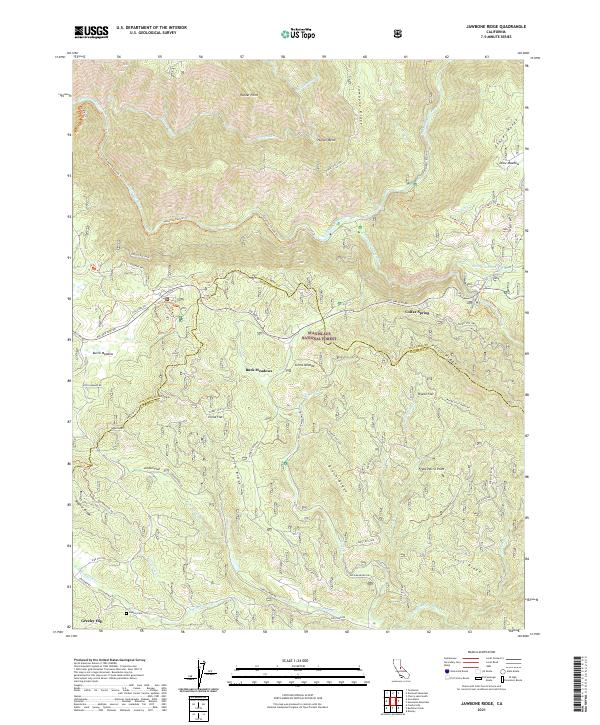
2021 Map of Jawbone Ridge
USGS Topo · Published 2021About this map
The Tuolumne Wild and Scenic River carves a deep path across this portion of the Stanislaus National Forest, where the complex drainage systems of the Clavey River and Middle Tuolumne River define the terrain. High ridges such as Jawbone Ridge and the Gravel Range overlook a landscape marked by small flats and meadows that historically supported local movement and settlement. Near the southern boundary, the community of Greeley Hill sits near the Dudley Cem, while Buck Meadows and Colfax Spring serve as key points along the historic Big Oak Flat Rd corridor. This network of forest routes, including Pilot Ridge Rd and Wagner Ridge Rd, traces the high ground between river canyons, reflecting a long-standing reliance on ridgeline travel to navigate the steep descent into the Tuolumne and Merced River watersheds.
Find a feature on this map
74 named features on this map. Tap any name to fly to it.
Don’t see what you’re looking for? This feature index may not catch every label — zoom into the map to look around manually.
Map Details
Editions of this 2021 Jawbone Ridge Map
This is the sole edition of this map. No revisions or reprints were ever made.
Other maps of this area

1893 · Sonora
USGS Topo · 1:125,000

1896 · Sonora
USGS Topo · 1:125,000

1897 · Sonora
USGS Topo · 1:125,000

1897 · Yosemite
USGS Topo · 1:125,000

1898 · Sonora
USGS Topo · 1:125,000

1900 · Yosemite
USGS Topo · 1:125,000

1903 · Yosemite
USGS Topo · 1:125,000

1909 · Yosemite
USGS Topo · 1:125,000

1947 · San Jose
USGS Topo · 1:250,000

1947 · Mariposa
USGS Topo · 1:250,000