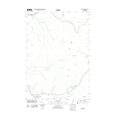
2012 Map of Jay Peak
USGS Topo · Published 2012About this map
Montgomery Center serves as a primary settlement point in this northern Vermont landscape, situated near the confluence of the Trout River and Hannah Clark Brook. The area is defined by the significant elevation of the Green Mountains, dominated by the massif of Jay Peak and its neighbors North Jay Peak, Doll Peak, and Big Jay. To the northwest, the small community of Stevens Mills sits along the Missisquoi River, while various mountain camps like Laura Woodward Camp and Jay Camp suggest the area's long-standing connection to recreation and seasonal mountain living. Genealogists will find three distinct burial sites documented: Saint Isidore Cem, Montgomery Center Cem, and West Jay Cem, each marking different pockets of local history and family lineages within the hills. The network of brooks, including Black Falls Brook and Lucas Brook, reveals the drainage patterns that shaped the valley's development and road layout.
Find a feature on this map
50 named features on this map. Tap any name to fly to it.
Don’t see what you’re looking for? This feature index may not catch every label — zoom into the map to look around manually.
Map Details
Editions of this 2012 Jay Peak Map
This is the sole edition of this map. No revisions or reprints were ever made.
Other maps of this area

1919 · Montgomery
USGS Topo · 1:62,500

1920 · Montgomery
USGS Topo · 1:62,500

1920 · Irasburg
USGS Topo · 1:62,500

1923 · Irasburg
USGS Topo · 1:48,000

1925 · Irasburg
USGS Topo · 1:62,500

1925 · Jay Peak
USGS Topo · 1:62,500

1943 · Jay Peak
USGS Topo · 1:62,500

1950 · Lake Champlain
USGS Topo · 1:250,000

1953 · Jay Peak
USGS Topo · 1:62,500

1953 · Irasburg
USGS Topo · 1:62,500