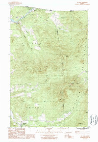
1986 Map of Jay Peak
USGS Topo · Published 1987About this map
The northern reaches of the Green Mountains define this international border landscape, where the Canada United States boundary meets the heights of the Jay range. The high-altitude terrain is dominated by the massive summits of Jay Peak, North Jay Peak, Big Jay, and Little Jay, much of which is protected within the Jay State Forest. The map records the transition from the steep, forested slopes of Westfield and Richford down to the valley floors where historic river settlements were established. In the northwest, the Missisquoi River cuts through the topography near East Richford and Stevens Mills, while the southern portion of the quadrangle centers on the village of Montgomery Center at the confluence of Hannah Brook and the Trout River. A notable point of international transit is marked by the Customs post at the Quebec Vermont line, reflecting the area's role as a northern gateway.
Find a feature on this map
26 named features on this map. Tap any name to fly to it.
Don’t see what you’re looking for? This feature index may not catch every label — zoom into the map to look around manually.
Map Details
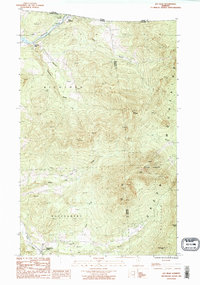
Editions of this 1986 Jay Peak Map
2 editions found
Other maps of this area

1919 · Montgomery
USGS Topo · 1:62,500

1920 · Montgomery
USGS Topo · 1:62,500

1920 · Irasburg
USGS Topo · 1:62,500

1923 · Irasburg
USGS Topo · 1:48,000

1925 · Irasburg
USGS Topo · 1:62,500

1925 · Jay Peak
USGS Topo · 1:62,500

1943 · Jay Peak
USGS Topo · 1:62,500

1950 · Lake Champlain
USGS Topo · 1:250,000

1953 · Jay Peak
USGS Topo · 1:62,500

1953 · Irasburg
USGS Topo · 1:62,500