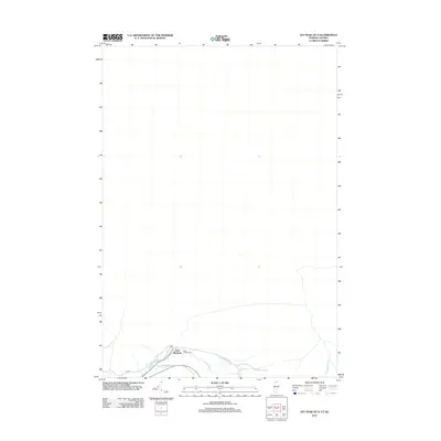
2012 Map of Jay Peak OE N
USGS Topo · Published 2012About this map
East Richford sits at the southern edge of this map where the Missisquoi River flows near the international border. This area reflects the rural transit patterns of the early twenty-first century, with local routes like Johnson Rd and Corliss Rd serving the small settlement. The landscape is defined by the river valley and its tributaries, including Lucas Brook and Leavitt Brook, which drain the northern terrain. Genealogists will find the East Richford Cem clearly marked just outside the main cluster of homes. The map also records specific local names for the winding paths through the hills, such as E Richford Slide Rd and Bell Rd, providing a detailed view of the infrastructure in this northern Vermont borderlands region.
Find a feature on this map
9 named features on this map. Tap any name to fly to it.
Don’t see what you’re looking for? This feature index may not catch every label — zoom into the map to look around manually.
Map Details
Editions of this 2012 Jay Peak OE N Map
This is the sole edition of this map. No revisions or reprints were ever made.
Other maps of this area

1919 · Montgomery
USGS Topo · 1:62,500

1920 · Montgomery
USGS Topo · 1:62,500

1920 · Irasburg
USGS Topo · 1:62,500

1923 · Irasburg
USGS Topo · 1:48,000

1925 · Irasburg
USGS Topo · 1:62,500

1925 · Jay Peak
USGS Topo · 1:62,500

1943 · Jay Peak
USGS Topo · 1:62,500

1950 · Lake Champlain
USGS Topo · 1:250,000

1953 · Jay Peak
USGS Topo · 1:62,500

1953 · Irasburg
USGS Topo · 1:62,500