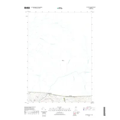
2018 Map of Jay Peak OE N
USGS Topo · Published 2018About this map
The Canada United States of America border defines the character of this northern Vermont survey, where the Green Mountains meet the international boundary. The settlement of East Richford sits along the southern edge, serving as a focal point near the Missisquoi River. The landscape is dominated by a complex drainage network that includes French-named water bodies such as Lac Mohawk, Lac Kelly, and Lac à Jenne, reflecting the cultural influence of the nearby border. Local history is anchored by the East Richford Cem and the Barnet Monument Cem, which provide specific points of interest for genealogists tracing early families in this part of Franklin County. The terrain is shaped by the transition of the river as it moves across the border, marked on the map as both the Missisquoi River and Rivière Missisquoi.
Find a feature on this map
26 named features on this map. Tap any name to fly to it.
Don’t see what you’re looking for? This feature index may not catch every label — zoom into the map to look around manually.
Map Details
Editions of this 2018 Jay Peak OE N Map
This is the sole edition of this map. No revisions or reprints were ever made.
Other maps of this area

1919 · Montgomery
USGS Topo · 1:62,500

1920 · Montgomery
USGS Topo · 1:62,500

1920 · Irasburg
USGS Topo · 1:62,500

1923 · Irasburg
USGS Topo · 1:48,000

1925 · Irasburg
USGS Topo · 1:62,500

1925 · Jay Peak
USGS Topo · 1:62,500

1943 · Jay Peak
USGS Topo · 1:62,500

1950 · Lake Champlain
USGS Topo · 1:250,000

1953 · Jay Peak
USGS Topo · 1:62,500

1953 · Irasburg
USGS Topo · 1:62,500