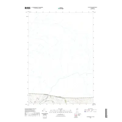
2021 Map of Jay Peak OE N
USGS Topo · Published 2021About this map
East Richford sits right at the northern edge of Vermont, where the Missisquoi River winds alongside the international border between the United States and Canada. This 2021 survey focuses on the narrow strip of land where Franklin and Orleans counties meet. The landscape is defined by the steep descent of small waterways like Lucas Brook and Leavit Brook as they flow south toward the river valley. Local history is anchored by the East Richford Cem and the Barnet Monument Cem, situated near the convergence of rural routes such as Glenn Sutton Rd and Jay Rd. The map illustrates the sparsely settled character of this border region, dominated by dense contour lines and the proximity of the neighboring country just across the northern boundary line.
Find a feature on this map
15 named features on this map. Tap any name to fly to it.
Don’t see what you’re looking for? This feature index may not catch every label — zoom into the map to look around manually.
Map Details
Editions of this 2021 Jay Peak OE N Map
This is the sole edition of this map. No revisions or reprints were ever made.
Other maps of this area

1919 · Montgomery
USGS Topo · 1:62,500

1920 · Montgomery
USGS Topo · 1:62,500

1920 · Irasburg
USGS Topo · 1:62,500

1923 · Irasburg
USGS Topo · 1:48,000

1925 · Irasburg
USGS Topo · 1:62,500

1925 · Jay Peak
USGS Topo · 1:62,500

1943 · Jay Peak
USGS Topo · 1:62,500

1950 · Lake Champlain
USGS Topo · 1:250,000

1953 · Jay Peak
USGS Topo · 1:62,500

1953 · Irasburg
USGS Topo · 1:62,500